चित्र:1947 ROC claim line in Ladakh.jpg

ओरिजनल फाइल (६४४ × ६१९ पिक्सेल, फाइल साइज: १७२ KB, MIME टाइप: image/jpeg)
सारांश
| बिबरण1947 ROC claim line in Ladakh.jpg |
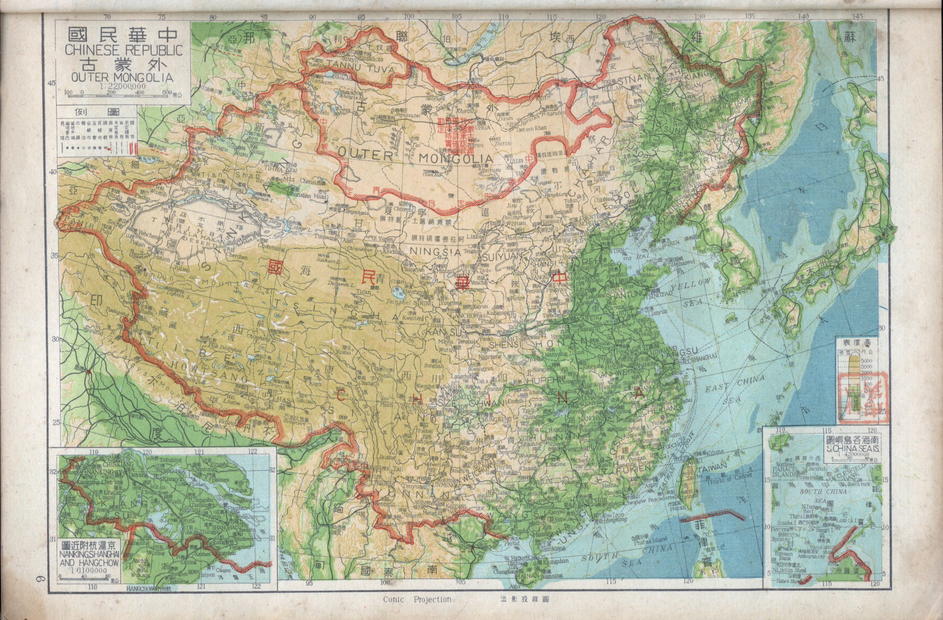
English: This extract from a 1947 map of the w:Republic of China (1912–1949) shows the border claimed against the Ladakh region of India. Though the map is of low resolution, it is possible to conclude that:
|
| तारीख | |
| स्रोत | https://www.nansha.org.cn/maps/3/1947_ROC_Map.jpg |
| लेखक | Republic of China |
| Other versions |


लाइसेंसिंग
| Public domainPublic domainfalsefalse |

|
This image is now in the public domain in China because its term of copyright has expired. According to copyright laws of the People's Republic of China (with legal jurisdiction in the mainland only, excluding Hong Kong and Macao), amended November 11, 2020, Works of legal persons or organizations without legal personality, or service works, or audiovisual works, enter the public domain 50 years after they were first published, or if unpublished 50 years from creation. For photography works of natural persons whose copyright protection period expires before June 1, 2021 belong to the public domain. All other works of natural persons enter the public domain 50 years after the death of the creator. To uploader: Please provide where the image was first published and who created it or held its copyright.  You must also include a United States public domain tag to indicate why this work is in the public domain in the United States. You must also include a United States public domain tag to indicate why this work is in the public domain in the United States.
|
  |
Captions
फाइल के इतिहास
ओ समय ई फाइल कइसन लउके ई देखे खातिर कौनों तारीख/समय पर क्लिक करीं।
| तारीख/समय | चिप्पी रूप | डाइमेंशन | प्रयोगकर्ता | टिप्पणी | |
|---|---|---|---|---|---|
| वर्तमान | २२:२४, ३१ जनवरी २०२१ | 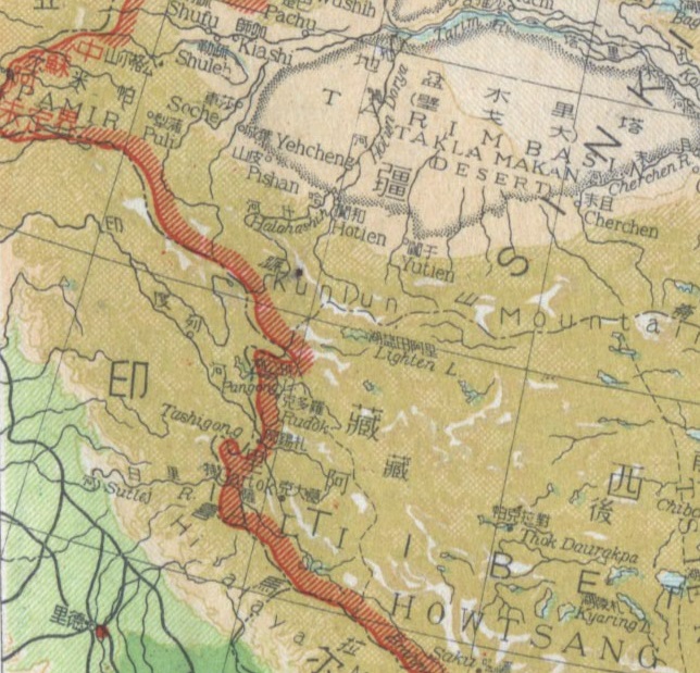 | ६४४ × ६१९ (१७२ KB) | smartcommons>Kautilya3 | Uploaded a work by Republic of China from https://www.nansha.org.cn/maps/3/1947_ROC_Map.jpg with UploadWizard |
फाइल के उपयोग
कौनों पन्ना नइखे जवन ए फाइल के इस्तेमाल करत होखे।
