चित्र:AlapahaRiver2002.jpg

ए नमूना के साइज: २२० × १६५ पिक्सेल. अउरी रिजोल्यूशन: ३२० × २४० पिक्सेल | २,०१० × १,५०७ पिक्सेल.
ओरिजनल फाइल (२,०१० × १,५०७ पिक्सेल, फाइल साइज: ६४१ KB, MIME टाइप: image/jpeg)

सारांश
| बिबरणAlapahaRiver2002.jpg |
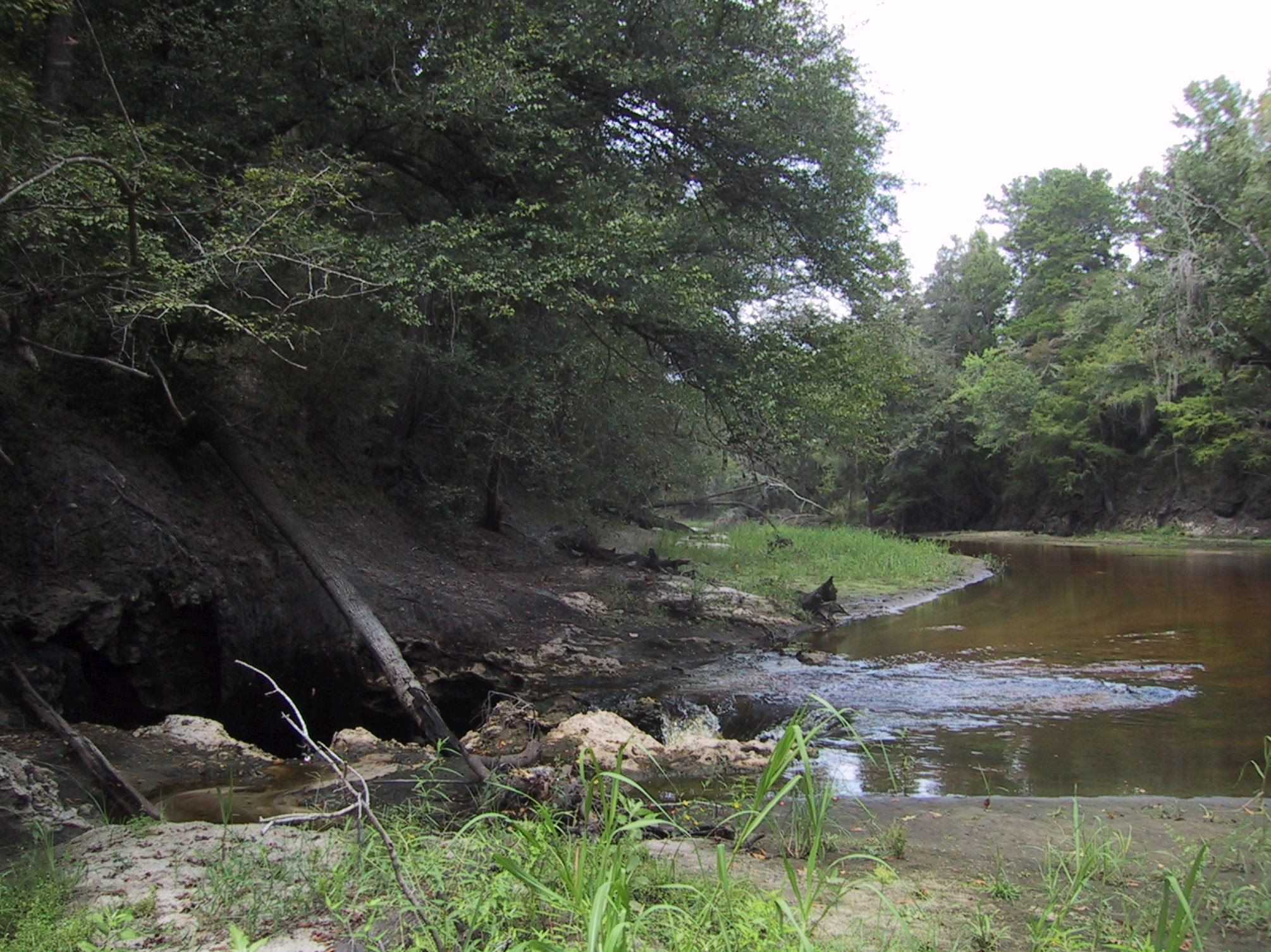
English: Surface water-Groundwater (SW-GW) interaction , August 2002. Entire flow of Alapaha River near Jennings going into sinkhole to Floridan Aquifer. Sinkholes are one of a variety of properties of Karst topographies and carstic underground water systems that develope world wide in water soluble (chemically soluble) rocks (in Florida: carbonate rocks). |
| तारीख | |
| स्रोत | USGS Surface Water Photo Gallery[1], item 14 01. |
| लेखक | Stewart Tomlinson, Florida |
लाइसेंसिंग
| Public domainPublic domainfalsefalse |

|
This image is in the public domain in the United States because it only contains materials that originally came from the United States Geological Survey, an agency of the United States Department of the Interior. For more information, see the official USGS copyright policy.
|
 |
Original upload log
The original description page was here. All following user names refer to en.wikipedia.

- 2008-09-01 03:17 Suntag 2010×1507× (656603 bytes)
Captions
Add a one-line explanation of what this file represents
फाइल के इतिहास
ओ समय ई फाइल कइसन लउके ई देखे खातिर कौनों तारीख/समय पर क्लिक करीं।
| तारीख/समय | चिप्पी रूप | डाइमेंशन | प्रयोगकर्ता | टिप्पणी | |
|---|---|---|---|---|---|
| वर्तमान | ०२:२२, २० मई २०१२ | 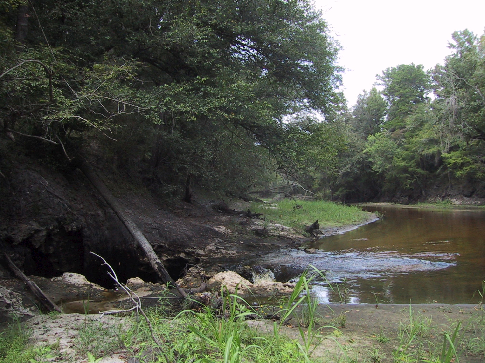 | २,०१० × १,५०७ (६४१ KB) | smartcommons>MathewTownsend | {{Information |Description={{en|en:Surface water-en:Groundwater (SW-GW) interaction , August 2002. Entire flow of en:Alapaha River near en:Jennings, Florida going into en:sinkhole to en:Floridan Aquifer. Sinkhole... |
फाइल के उपयोग
कौनों पन्ना नइखे जवन ए फाइल के इस्तेमाल करत होखे।
