चित्र:East-Hem 100bc.jpg

ओरिजनल फाइल (३,२४० × १,९०३ पिक्सेल, फाइल साइज: ७३७ KB, MIME टाइप: image/jpeg)

|
This historical map image could be re-created using vector graphics as a SVG file. This has several advantages; see Commons:Media for cleanup for more information. If a SVG form of this image is available, please upload it and afterwards replace this template with
{{vector version available|new image name}}.It is recommended to name the SVG file “East-Hem 100bc.svg”—then the template Vector version available (or Vva) does not need the new image name parameter. |


|
|
This map image could be re-created using vector graphics as a SVG file. This has several advantages; see Commons:Media for cleanup for more information. If a SVG form of this image is available, please upload it and afterwards replace this template with
{{vector version available|new image name}}.It is recommended to name the SVG file “East-Hem 100bc.svg”—then the template Vector version available (or Vva) does not need the new image name parameter. |
| बिबरणEast-Hem 100bc.jpg |
English: Eastern Hemisphere in 100 BCE. |
| स्रोत | self-made (For reference information, see below) |
| लेखक | Thomas Lessman (Contact!) |
| परमीशन (एह फाइल के दुबारा इस्तेमाल) |
I, the copyright holder of this work, hereby publish it under the following license:    ई फाइल Creative Commons Attribution-Share Alike 3.0 Unported लाइसेंस की तहत लाइसेंसी बा।
|
| Other versions |

.jpg)

Map Summary
Original Source URL: http://www.thomaslessman.com/History/images/East-Hem_100bc.jpg.

This map of the Eastern Hemisphere in 100 BC was created by Thomas Lessman, based on information from the sources listed below. This map is free for educational use (see Permission info above). When using this map, please mention that it is available for free at www.WorldHistoryMaps.info.
Map Source References
(This section is being revised, please be patient!)
- Remember, sources often conflict with each other. This map is only as accurate as the information that is available to me. To report any errors or to help further this work, please click here, or email Thomas Lessman at [email protected]
References for information contained in this map:
1. Borders of Europe are derived from:
- Roman Empire is well documented. Here are some of the better sources I used:
- * The DK Atlas of World History, 2000 Edition; map of Roman Conquests to 120 BC;(Page 179)
- * This map of the Phases of the Roman Empire by User:Varana.

2. Borders of Asia are derived from the following sources:
- Armenia borders derive from the map of the Armenian Empire, 95-66 BC under Tigranes the Great.
- Atropatene borders come from this map of the Armenian Empire, 95-66 BC under Tigranes the Great.
- Indo-Greek Kingdoms are derived from:
- * Wikimedia's map of the World in 100 BCE.PNG by User:Javierfv1212.
- Judea borders are derived from:
- * Wikipedia's article on the Hasmonean Kingdom,
- * This map of the Armenian Empire, 95-66 BC under Tigranes the Great.
- * This map of Israeli Borders, 167-76 BC (available on Livius.org).
- Kashmir under the Saka King Maues, is described on the Iranica.com archive copy at the Wayback Machine article about the Indo-Scythians archive copy at the Wayback Machine
- Mahameghavahanas are shown in Wikimedia's map of the World in 100 BCE.PNG by User:Javierfv1212.
- Palmyra borders are derived from Wikipedia's article about Palmyra, and from Wikimedia's map of the World in 100 BCE.PNG by User:Javierfv1212.
- Parthian Empire borders are derived from
- Persia borders are shown in the WorldHistoryMaps.com map of the old world in 036 BC archive copy at the Wayback Machine and their map of 150 BC.
- Pontus borders are derived from this map of the Armenian Empire, 95-66 BC under Tigranes the Great.
- Ptolemaic Kingdom
- Sakastan borders come from this map of Sakastan in 100 BC, available on Wikipedia's article on Sakastan.
- Satavahana Dynasty
- Seleucia borders are derived from this map of the Armenian Empire, 95-66 BC under Tigranes the Great.
- * Note: Seleucid rule over the "spur" of land west of Judea is derived from William R. Shepherd's map of The Growth of Roman Power in Asia (Asia Minor II).
- Sunga Dynasty


3. Fringe areas like Africa, Australia, Siberia, etc. are derived mostly from Wikimedia's map of the World in 100 BCE.PNG by User:Javierfv1212.
4. Much of the information in this map was cross-checked with Bruce Gordon's Regnal Chronologies archive copy at the Wayback Machine.
Other Maps by Thomas Lessman
| Maps of the eastern hemisphere showing history
Bold dates are available on Wikimedia or Wikipedia. | ||
| Primeval | ||
| Ancient
|
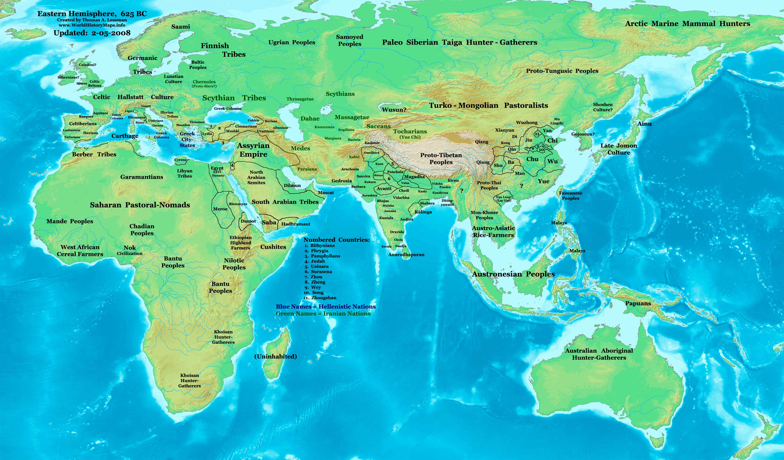
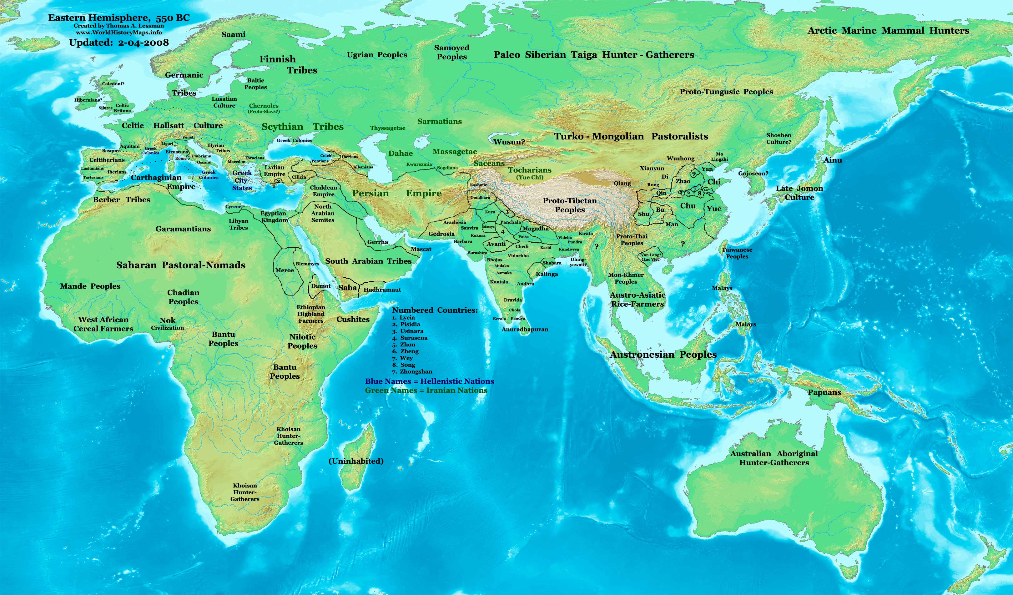
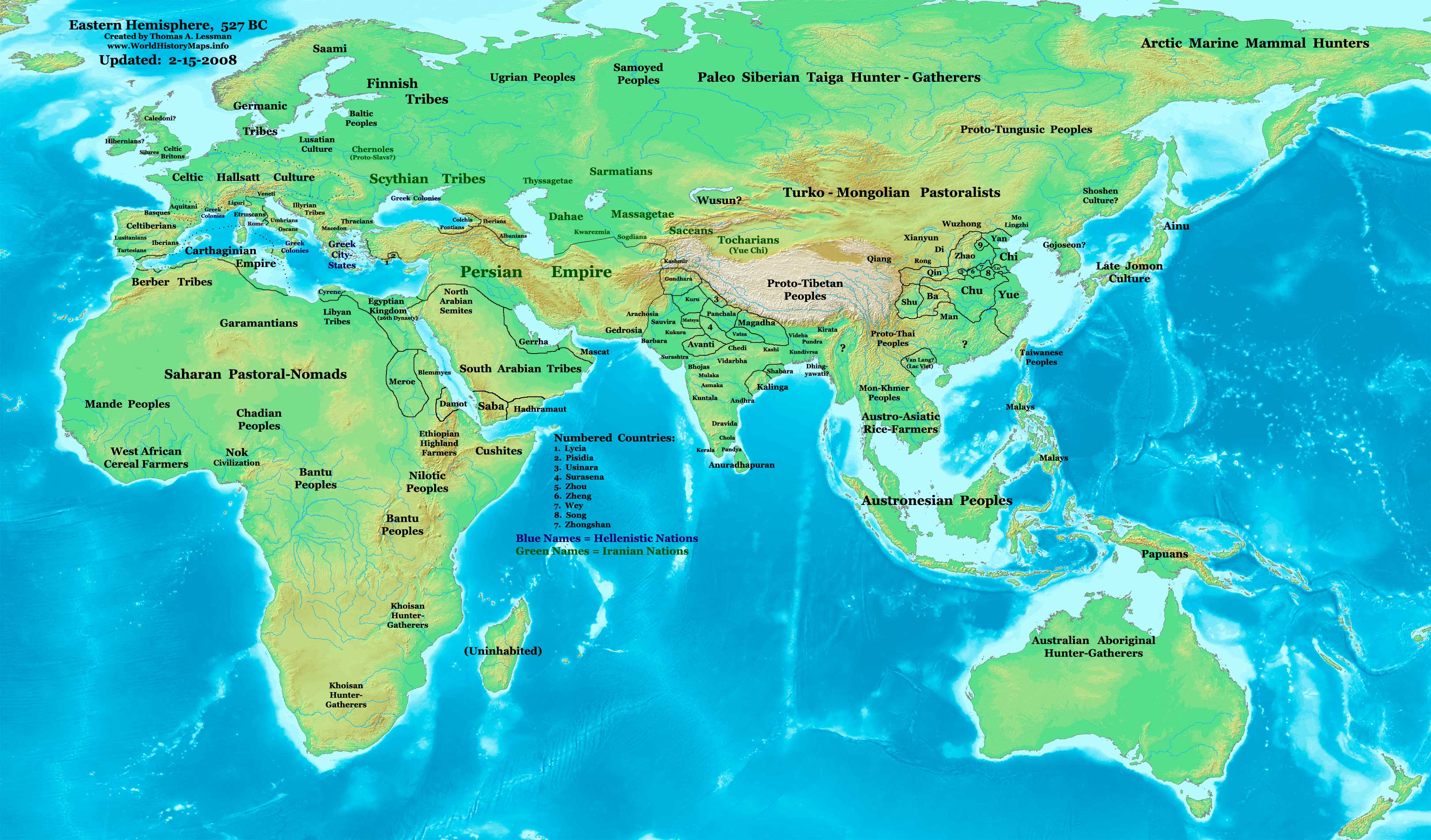
·| 600 BC | 550 BC | 527 BC | 500 BC |
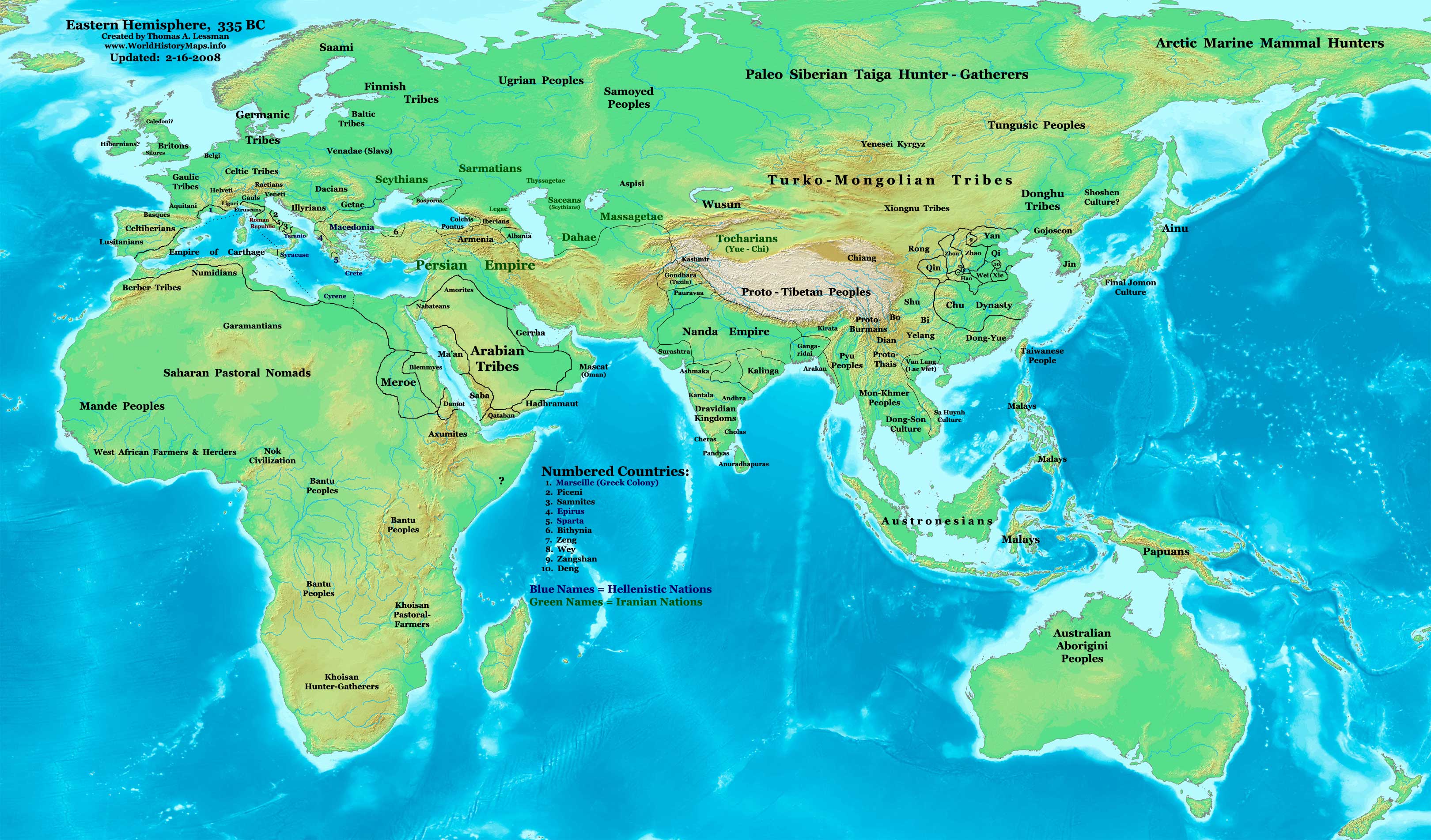
400 BC | ·| 1 AD | 50 AD | 100 AD | 200 AD | 300 AD | | |
| Medieval |
·| 500 AD | 565 AD | 600 AD | 700 AD | | |
| Modern |
·| 1500 AD | · * For historical maps of the whole world, | |






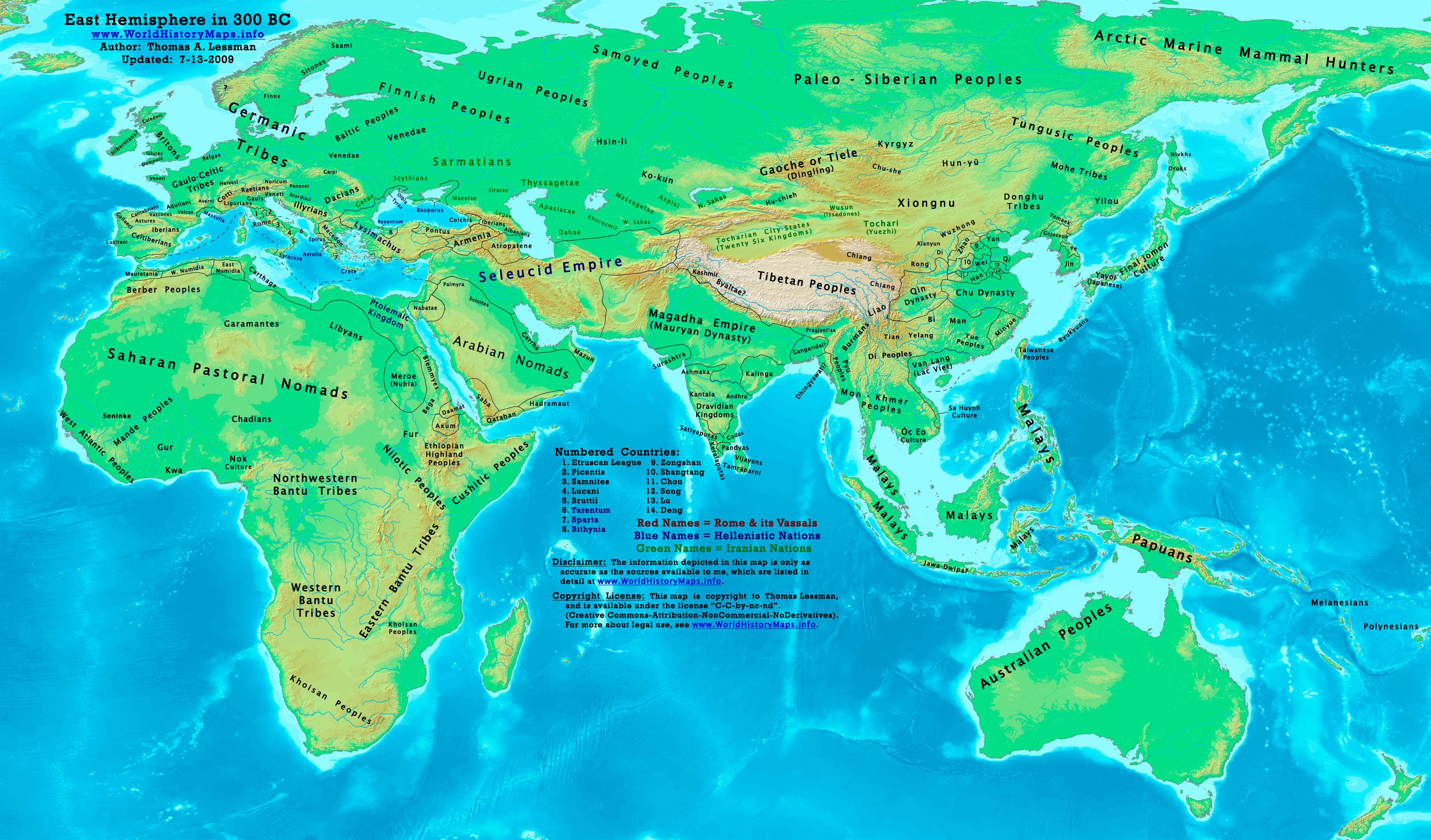


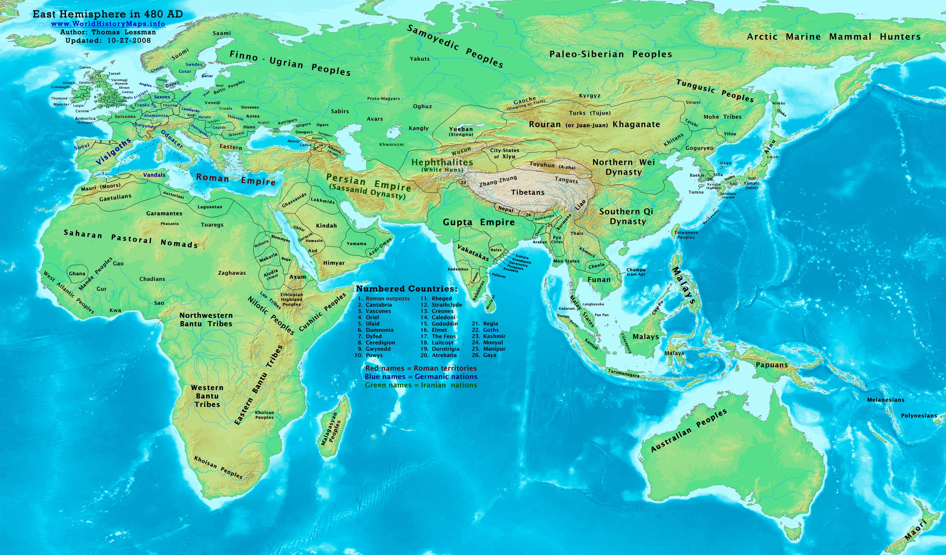
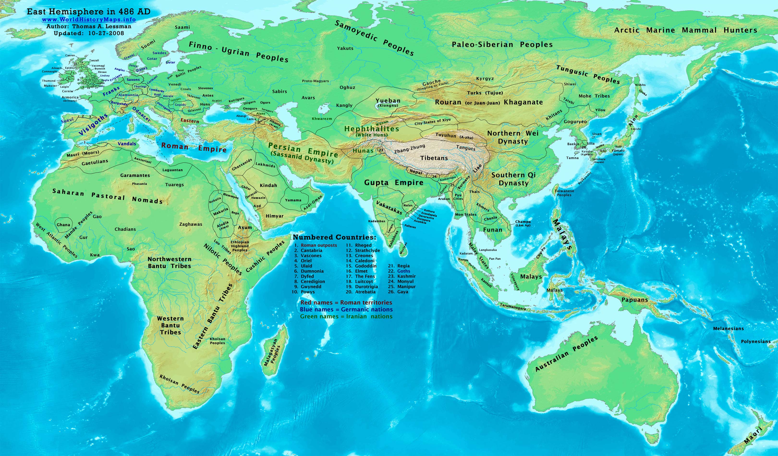


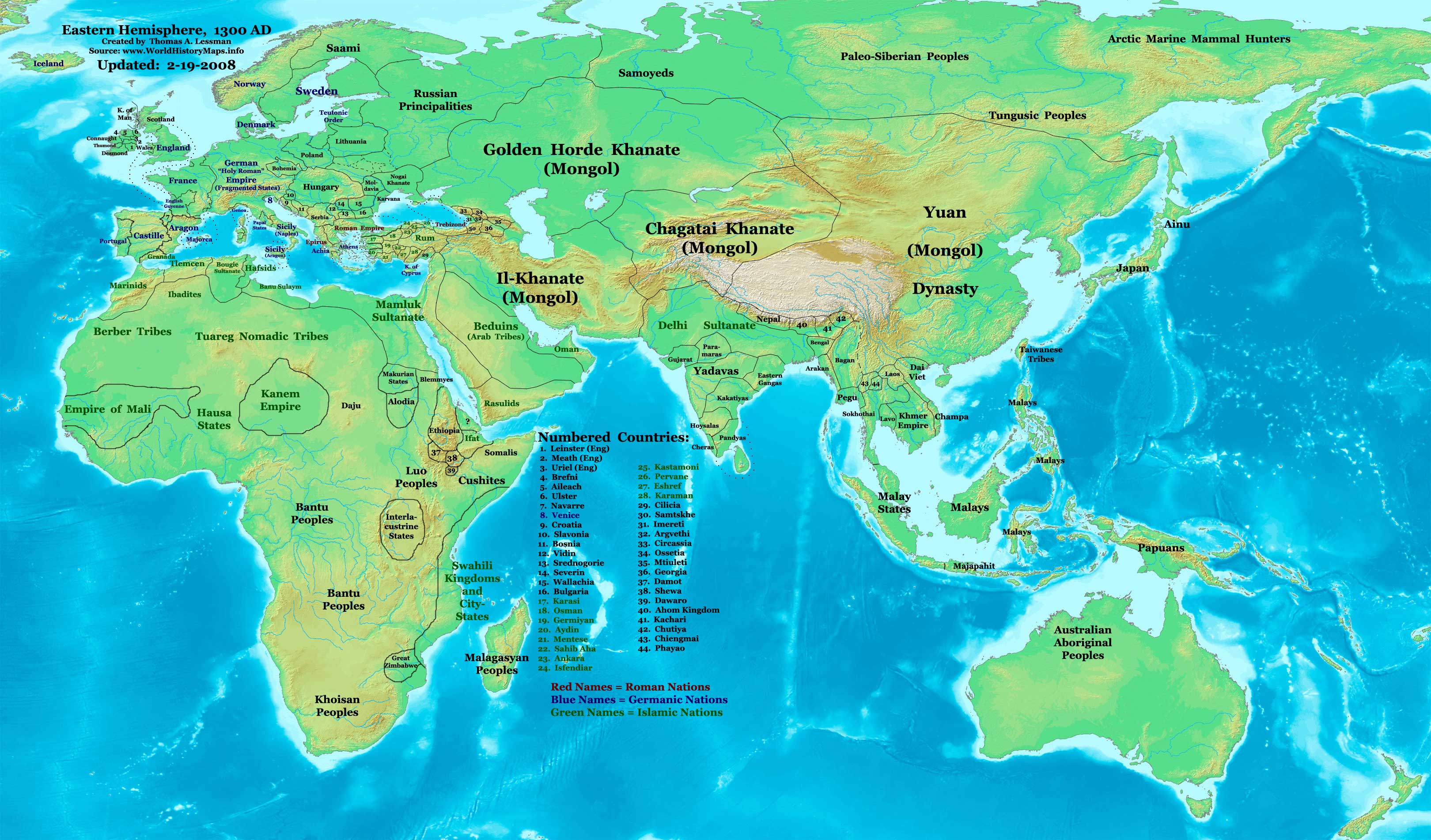
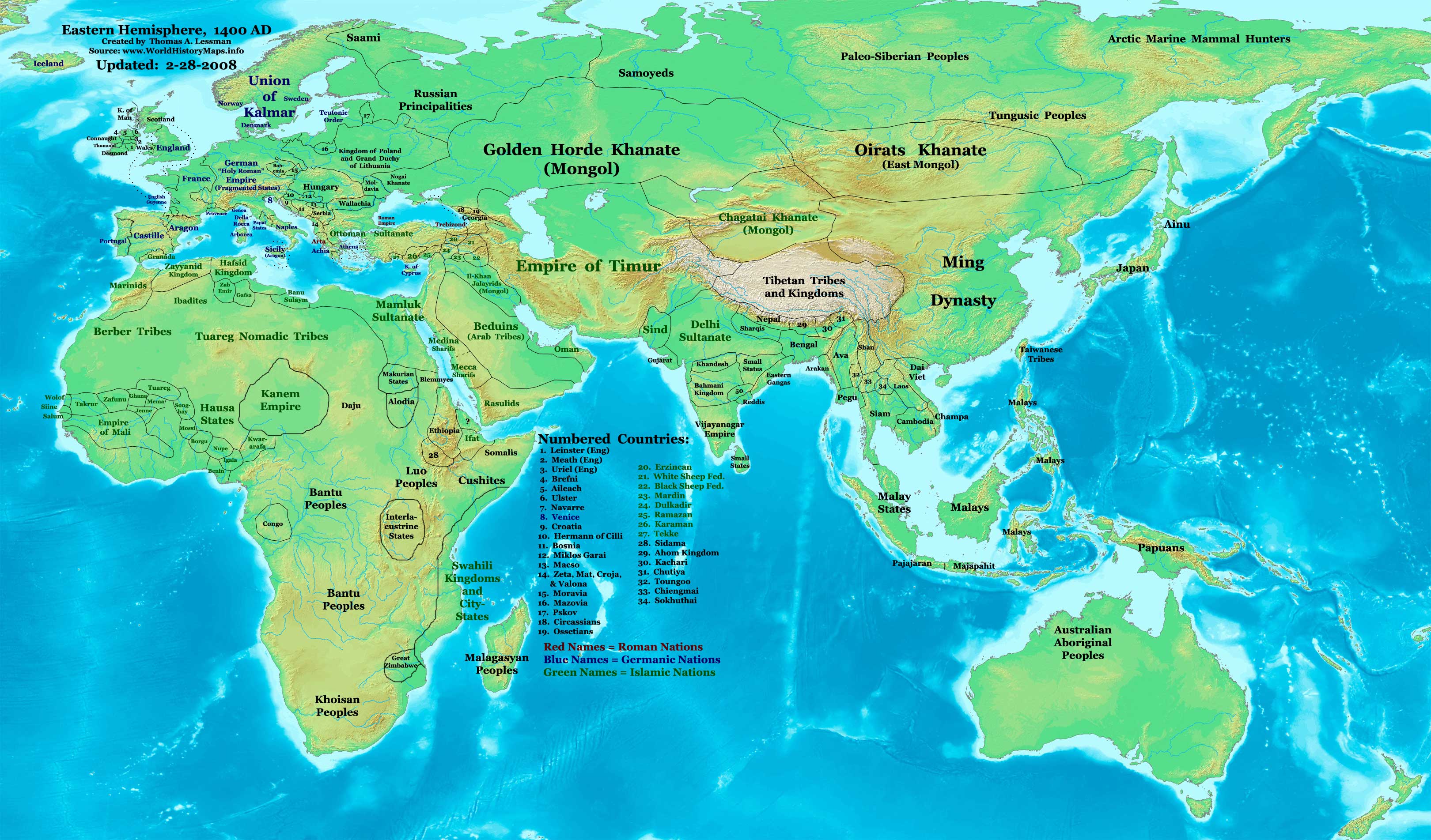
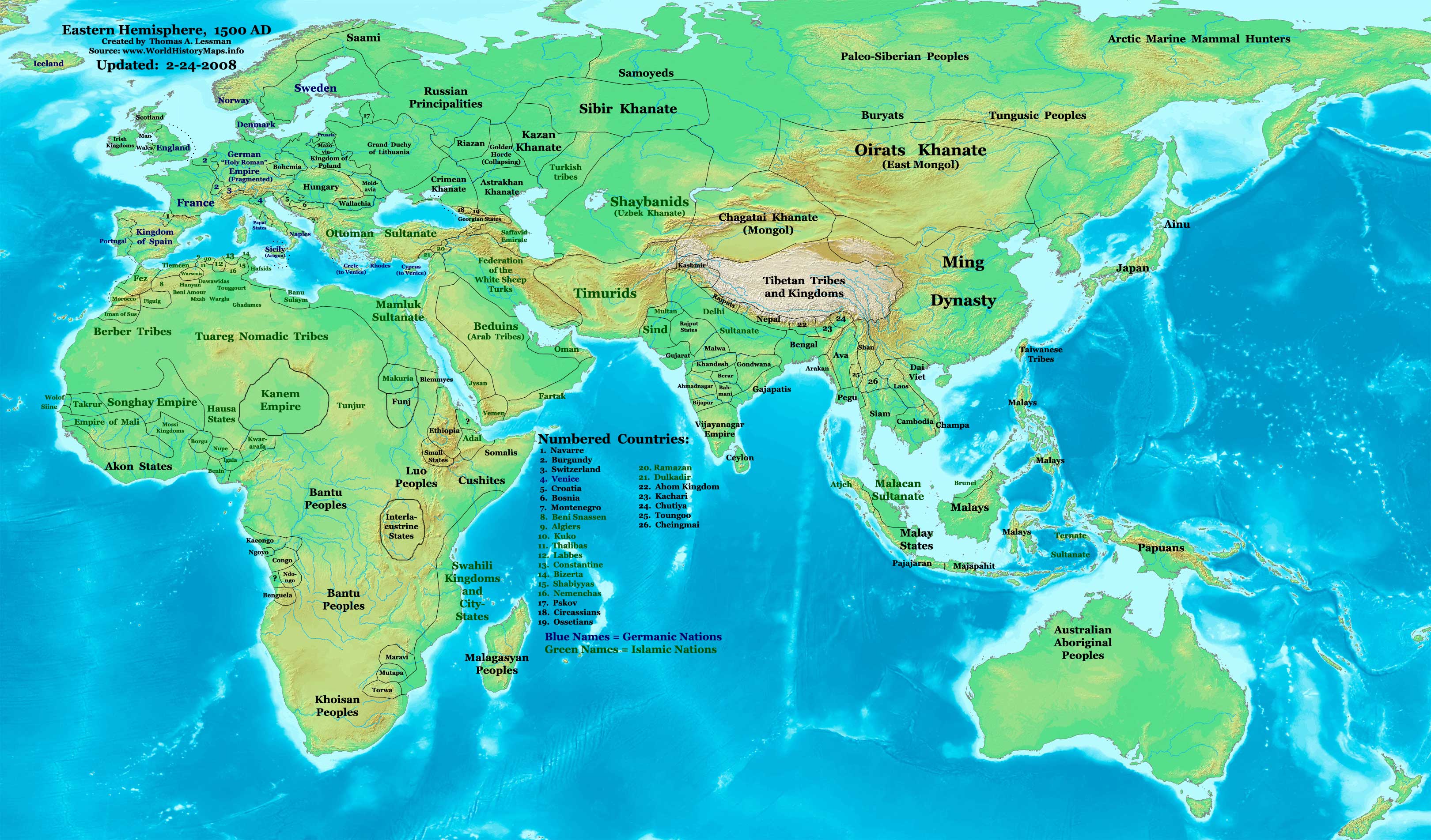
Other Information
Previous
Captions
फाइल के इतिहास
ओ समय ई फाइल कइसन लउके ई देखे खातिर कौनों तारीख/समय पर क्लिक करीं।
| तारीख/समय | चिप्पी रूप | डाइमेंशन | प्रयोगकर्ता | टिप्पणी | |
|---|---|---|---|---|---|
| वर्तमान | ००:२७, १० अगस्त २००८ | 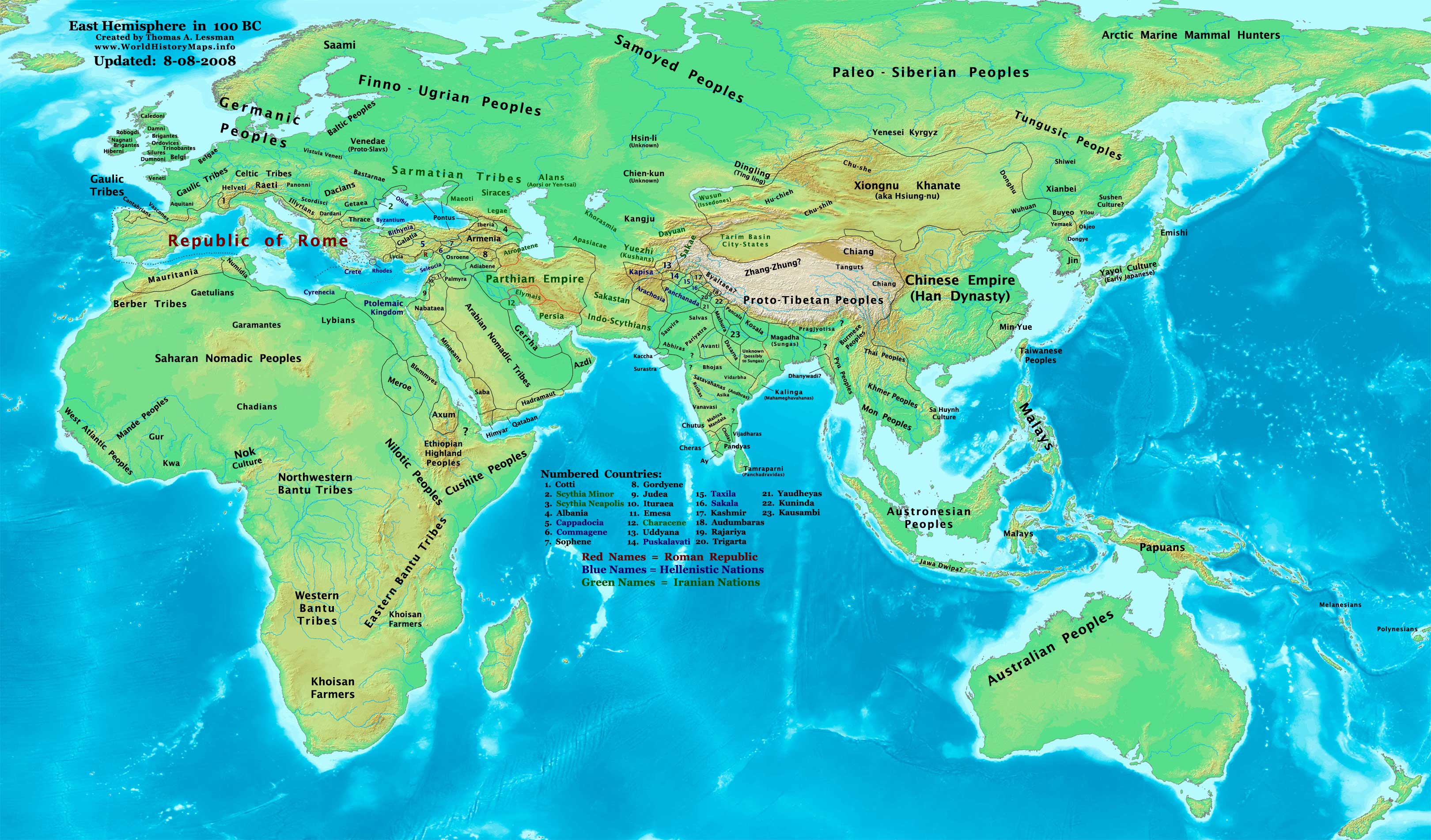 | ३,२४० × १,९०३ (७३७ KB) | smartcommons>Talessman | {{Information |Description= |Source= |Date= |Author= |Permission= |other_versions= }} |
फाइल के उपयोग
कौनों पन्ना नइखे जवन ए फाइल के इस्तेमाल करत होखे।
