चित्र:Hills around the tea plantations, Munnar.JPG

ए नमूना के साइज: २२० × ६३ पिक्सेल. अउरी रिजोल्यूशन: ३२० × ९१ पिक्सेल | ३,८२४ × १,०८८ पिक्सेल.
ओरिजनल फाइल (३,८२४ × १,०८८ पिक्सेल, फाइल साइज: १,००९ KB, MIME टाइप: image/jpeg)


सारांश
| बिबरणHills around the tea plantations, Munnar.JPG |
English: Views from Eravikulam National Park Road in Munnar, Kerala, India.
Warning: This composite picture has a problem |
| तारीख | |
| स्रोत | आपन रचना (Original text: self-made) |
| लेखक | yusuf |
| Camera location |  | View this and other nearby images on: OpenStreetMap |  10.143583; 77.040639 10.143583; 77.040639 |
|---|

लाइसेंसिंग
| Public domainPublic domainfalsefalse |

|
This work has been released into the public domain by its author, Yusuf fun at अंगरेजी विकिपीडिया. This applies worldwide. In some countries this may not be legally possible; if so: Yusuf fun grants anyone the right to use this work for any purpose, without any conditions, unless such conditions are required by law.Public domainPublic domainfalsefalse |
Original upload log
Transferred from en.wikipedia to Commons by Ekabhishek using CommonsHelper.
The original description page was here. All following user names refer to en.wikipedia.

- 2008-03-15 15:08 Yusuf fun 3824×1088× (1032960 bytes) {{Information |Description= This is the snap of Munnar(kerala - India) |Source=self-made |Date= 15 march 2008 |Location= mumbai |Author= yusuf |other_versions= }}
Captions
Add a one-line explanation of what this file represents
फाइल के इतिहास
ओ समय ई फाइल कइसन लउके ई देखे खातिर कौनों तारीख/समय पर क्लिक करीं।
| तारीख/समय | चिप्पी रूप | डाइमेंशन | प्रयोगकर्ता | टिप्पणी | |
|---|---|---|---|---|---|
| वर्तमान | २३:२२, १३ अप्रैल २०१० | 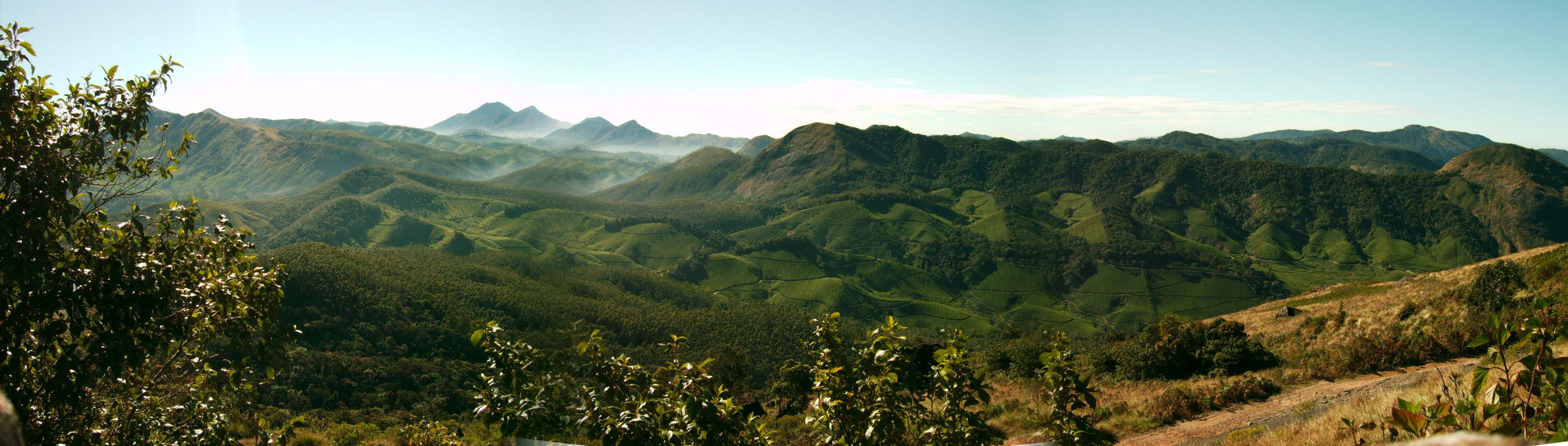 | ३,८२४ × १,०८८ (१,००९ KB) | smartcommons>File Upload Bot (Magnus Manske) | {{BotMoveToCommons|en.wikipedia|year={{subst:CURRENTYEAR}}|month={{subst:CURRENTMONTHNAME}}|day={{subst:CURRENTDAY}}}} {{Information |Description={{en|Munnar, Kerala, India.}} |Source=Transferred from [http://en.wikipedia.org en.wikipedia]; transferred t |
फाइल के उपयोग
कौनों पन्ना नइखे जवन ए फाइल के इस्तेमाल करत होखे।
