चित्र:Himachal Pradesh locator map.svg

Size of this PNG preview of this SVG file: २२० × २२४ पिक्सेल. अउरी resolution: २३६ × २४० पिक्सेल.
ओरिजनल फाइल (एसवीजी फाइल, नॉमिनली १,०३९ x १,०५७ पिक्सल, फाइल के आकार: १३८ KB)

| Title |
Himachal Pradesh locator map |
||
| DescriptionHimachal Pradesh locator map.svg |
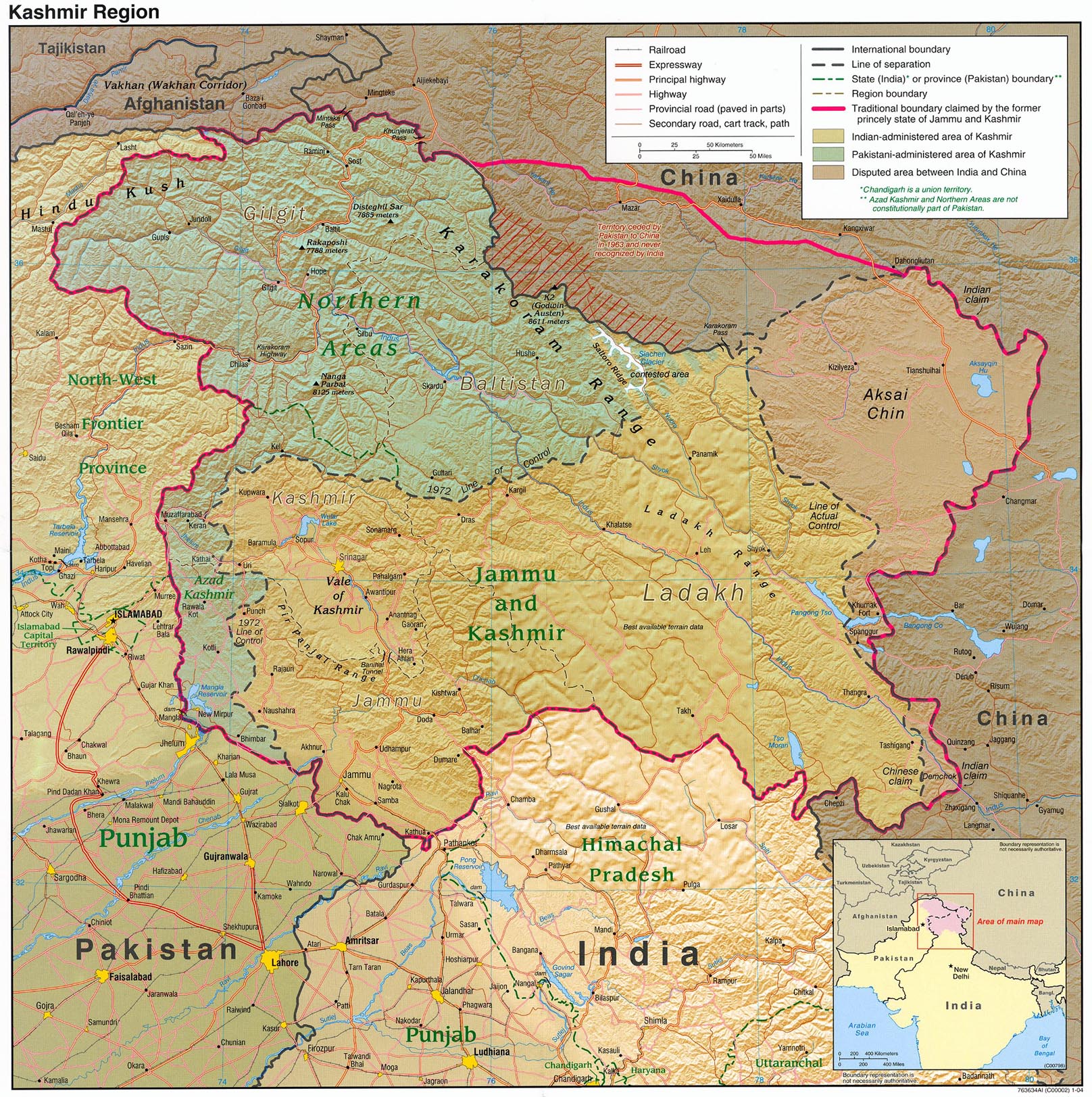
Map of w:Himachal Pradesh with road and rail lines. Equirectangular projection. Geographic limits of the map: top=33.31, bottom=30.16, left=75.39, right=79.05. |
||
| तारीख | |||
| स्रोत |
आपन रचना |
||
| Creator |
|
||
| परमीशन (एह फाइल के दुबारा इस्तेमाल) |
I, the copyright holder of this work, hereby publish it under the following license:    ई फाइल Creative Commons Attribution-Share Alike 3.0 Unported लाइसेंस की तहत लाइसेंसी बा।
 The frontiers depicted on the Indian maps in Wikipedia are from a neutral point of view and may differ from official government maps of India, Pakistan and China. Please consult local laws governing publication of maps before usage. The frontiers depicted on the Indian maps in Wikipedia are from a neutral point of view and may differ from official government maps of India, Pakistan and China. Please consult local laws governing publication of maps before usage. |
||
| Geotemporal data | |||
| Date depicted | second half of 20 century अउर 21 century | ||
| Georeferencing | If inappropriate please set warp_status = skip to hide. | ||
| Archival data | |||
| Notes | Part of WikiProject India Maps | ||
| Other versions | Derivative works of this file: Himachal Pradesh locator map2.svg | ||

Captions
Add a one-line explanation of what this file represents
Barog
फाइल के इतिहास
ओ समय ई फाइल कइसन लउके ई देखे खातिर कौनों तारीख/समय पर क्लिक करीं।
| तारीख/समय | चिप्पी रूप | डाइमेंशन | प्रयोगकर्ता | टिप्पणी | |
|---|---|---|---|---|---|
| वर्तमान | २३:३६, १४ अप्रैल २०२० |  | १,०३९ × १,०५७ (१३८ KB) | smartcommons>C1MM | Reverted to version as of 08:30, 11 April 2016 (UTC) |
फाइल के उपयोग
कौनों पन्ना नइखे जवन ए फाइल के इस्तेमाल करत होखे।
