चित्र:India 78.40398E 20.74980N.jpg

ए नमूना के साइज: २२० × १६५ पिक्सेल. अउरी रिजोल्यूशन: ३२० × २४० पिक्सेल | १,२८० × ९५८ पिक्सेल.
ओरिजनल फाइल (१,२८० × ९५८ पिक्सेल, फाइल साइज: १६७ KB, MIME टाइप: image/jpeg)

Hindustan
सारांश
Español: Imagen de la Asia Meridional.
English: Image of Meridional Asia.
| Public domainPublic domainfalsefalse |
 |
This image is in the public domain because it is a screenshot from NASA’s globe software World Wind using a public domain layer, such as Blue Marble, MODIS, Landsat, SRTM, USGS or GLOBE.
|
 |
Captions
Add a one-line explanation of what this file represents
The geographic region containing Bharat and its subcontinent.
এশিয়া মহাদেশের খণ্ডাংশের মানচিত্র
फाइल के इतिहास
ओ समय ई फाइल कइसन लउके ई देखे खातिर कौनों तारीख/समय पर क्लिक करीं।
| तारीख/समय | चिप्पी रूप | डाइमेंशन | प्रयोगकर्ता | टिप्पणी | |
|---|---|---|---|---|---|
| वर्तमान | १६:२८, १९ मई २००५ | 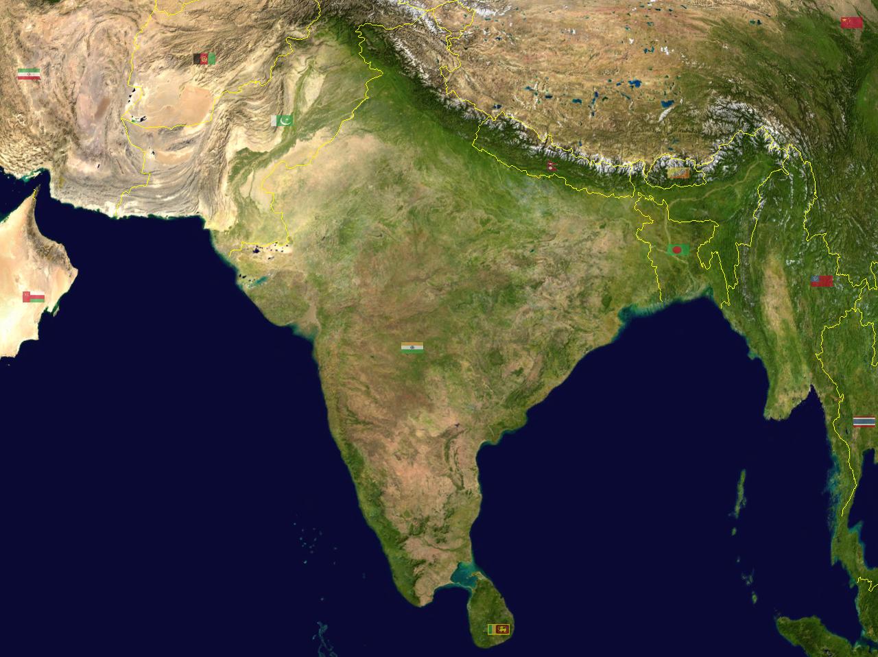 | १,२८० × ९५८ (१६७ KB) | smartcommons>Rex | India {{World Wind}} Category:Maps of India |
फाइल के उपयोग
फाइल के इस्तेमाल पन्ना करत बा:
