चित्र:IslamicConquestsIroon.png

ए नमूना के साइज: २२० × १९५ पिक्सेल. अउरी रिजोल्यूशन: २७० × २४० पिक्सेल | १,००६ × ८९३ पिक्सेल.
ओरिजनल फाइल (१,००६ × ८९३ पिक्सेल, फाइल साइज: १०५ KB, MIME टाइप: image/png)

|
This historical map image could be re-created using vector graphics as a SVG file. This has several advantages; see Commons:Media for cleanup for more information. If a SVG form of this image is available, please upload it and afterwards replace this template with
{{vector version available|new image name}}.It is recommended to name the SVG file “IslamicConquestsIroon.svg”—then the template Vector version available (or Vva) does not need the new image name parameter. |
| बिबरणIslamicConquestsIroon.png |
English: Map of the Sassanid, Byzantine and Muslim borders. |
| स्रोत | File:Pre_Islamic_Arabia.PNG |
| लेखक | Javierfv1212 and edited by HistoryofIran. |
| Other versions |
[]
|


| Public domainPublic domainfalsefalse |

|
This file is in the public domain because File:Pre_Islamic_Arabia.PNG
|


Captions
Add a one-line explanation of what this file represents
Map of the Sassanid and Byzantine Empires, and the Rashidun Caliphate
फाइल के इतिहास
ओ समय ई फाइल कइसन लउके ई देखे खातिर कौनों तारीख/समय पर क्लिक करीं।
| तारीख/समय | चिप्पी रूप | डाइमेंशन | प्रयोगकर्ता | टिप्पणी | |
|---|---|---|---|---|---|
| वर्तमान | १५:४३, १८ सितंबर २०१९ | 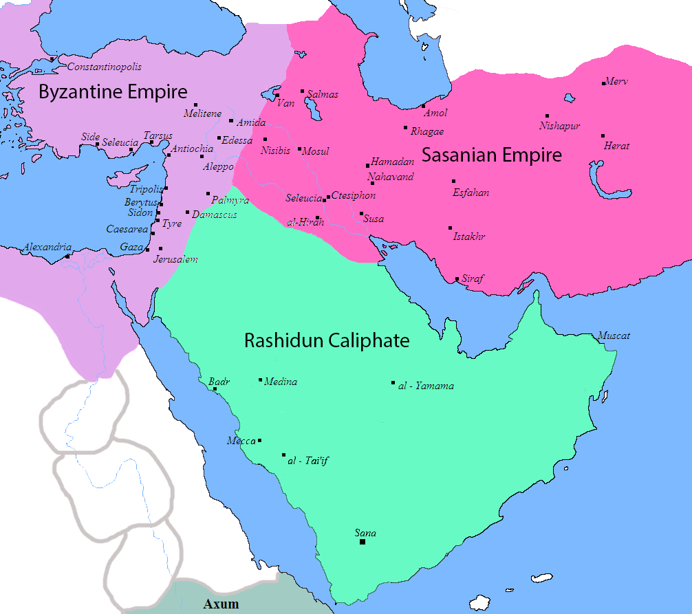 | १,००६ × ८९३ (१०५ KB) | smartcommons>HistoryofIran | rv, thats not how it works |
फाइल के उपयोग
कौनों पन्ना नइखे जवन ए फाइल के इस्तेमाल करत होखे।
