Jump to content

चित्र:Kashmir map.jpg

भोजपुरीपिडिया से

ओरिजनल फाइल (९७४ × १,१२० पिक्सेल, फाइल साइज: ८०७ KB, MIME टाइप: image/jpeg)

ई फाइल एगो सझियाई के भंडारघर से बा आ अउरी प्रोजेक्ट भी एकर इस्तेमाल कर सकत बाड़ें। एकर विवरण फाइल विवरण पन्ना नीचे देखावल गइल बा।

सारांश

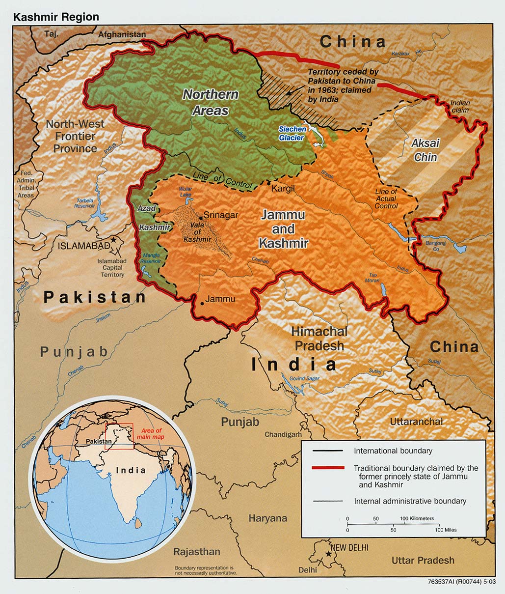
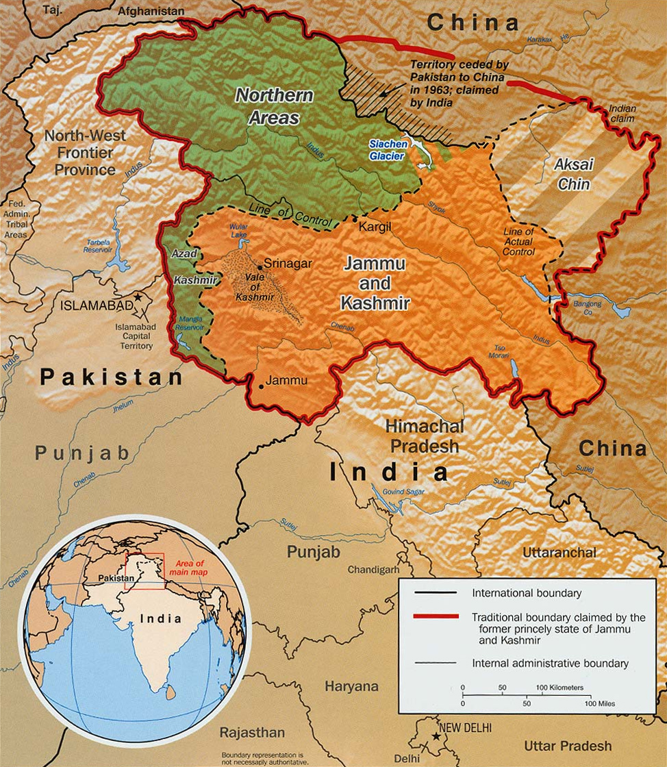
Deutsch: Übersicht über den gegenwärtigen Status Kaschmirs: Das auf der Karte grün eingefärbte Gebiet ist unter pakistanischer Kontrolle, der orange-braun eingefärbte iat als Bundesstaat Jammu und Kashmir unter indischer während Aksai Chin chinesisch besetzt ist.
English: The Disputed Territory : Shown in green is Kashmiri region under Pakistani control. The orange-brown region represents Indian-controlled Jammu and Kashmir while the Aksai Chin is under Chinese control.
Español: Mapa de la región de Cachemira. En verde, el territorio ocupado por Pakistán; en naranja, el ocupado por la India
बिबरणKashmir map.jpg

Original text from CIA World Factbook: "The Disputed Territory : Shown in green is Kashmiri region under Pakistani control. The dark-brown region represents Indian-controlled Jammu and Kashmir while the Aksai Chin is under Chinese occupation."

Library of Congress, Geography and Map Division, Washington, D.C. 20540-4650 USA. Info from its archive page [1] for this map:

Kashmir region.

United States. Central Intelligence Agency.

CREATED/PUBLISHED [Washington : Central Intelligence Agency, 2003]

NOTES "763537AI (R00744) 5-03."

Relief shown by shading.

Shows boundaries and disputed areas.

Includes location map.

Scale [ca. 1:510,000].

SUBJECTS

Jammu and Kashmir (India)--Maps
Jammu and Kashmir (India)--Boundaries--Maps.
India--Jammu and Kashmir.

MEDIUM 1 map : col. ; 20 x 17 cm.

CALL NUMBER G7653.J3 2003 .U51

REPOSITORY Library of Congress Geography and Map Division Washington, D.C. 20540-4650 USA

DIGITAL ID

g7653j ct001059 http://hdl.loc.gov/loc.gmd/g7653j.ct001059
तारीख
स्रोत

Map is archived here: http://hdl.loc.gov/loc.gmd/g7653j.ct001059 and

http://www.lib.utexas.edu/maps/middle_east_and_asia/kashmir_disputed_2003.jpg
लेखक Central Intelligence Agency
परमीशन
(एह फाइल के दुबारा इस्तेमाल)
Public domainPublic domainfalsefalse
Public domain
This image is in the public domain because it contains materials that originally came from the United States Central Intelligence Agency's World Factbook.

Bahasa Indonesia  čeština  Deutsch  eesti  English  español  Esperanto  français  galego  hrvatski  italiano  Nederlands  norsk nynorsk  polski  português  sicilianu  slovenščina  suomi  Türkçe  Zazaki  беларуская (тарашкевіца)  македонски  русский  српски / srpski  українська  ქართული  বাংলা  தமிழ்  മലയാളം  한국어  日本語  中文  中文(简体)  中文(繁體)  العربية  +/−

Other versions العربيَّة

Captions

Add a one-line explanation of what this file represents
Kaszmir mapa

Items portrayed in this file

depicts अंगरेजी

copyright status अंगरेजी

public domain अंगरेजी

inception अंगरेजी

2003

data size अंगरेजी

८२६,३२९ byte

height अंगरेजी

१,१२० पिक्सेल

width अंगरेजी

९७४ पिक्सेल

media type अंगरेजी

image/jpeg

checksum अंगरेजी

966a4464aebfe4261df673ee19d213adf2dc63e6

determination method or standard अंगरेजी: SHA-1

फाइल के इतिहास

ओ समय ई फाइल कइसन लउके ई देखे खातिर कौनों तारीख/समय पर क्लिक करीं।

तारीख/समयचिप्पी रूपडाइमेंशनप्रयोगकर्ताटिप्पणी
वर्तमान१४:०४, ६ मार्च २०१६१४:०४, ६ मार्च २०१६ ले के संस्करण के चिप्पी रूप।९७४ × १,१२० (८०७ KB)smartcommons>DennissReverted to version as of 23:18, 6 June 2010 (UTC)

फाइल के इस्तेमाल पन्ना करत बा: