चित्र:Timgad rue.jpg

ए नमूना के साइज: २२० × १६५ पिक्सेल. अउरी रिजोल्यूशन: ३२० × २४० पिक्सेल | १,२८० × ९६० पिक्सेल.
ओरिजनल फाइल (१,२८० × ९६० पिक्सेल, फाइल साइज: १७५ KB, MIME टाइप: image/jpeg)

सारांश
| बिबरणTimgad rue.jpg |
|
| तारीख | |
| स्रोत | originally posted to Flickr as IMG_0890 |
| लेखक | PhR61 |
| Camera location |  | View this and other nearby images on: OpenStreetMap |  35.485170; 6.468810 35.485170; 6.468810 |
|---|

| Object location | | View this and other nearby images on: OpenStreetMap | 35.485040; 6.467160 |
|---|

लाइसेंसिंग


This file is licensed under the Creative Commons Attribution 2.0 Generic license.
- आप फ्री बानी:
- साझा करे खातिर – रचना के नकल करे, बाँटे आ दुसरी जगह भेजे खातिर
- रीमिक्स करे खातिर – काम के अपनी हिसाब से बनावे खातिर
- नीचे दिहल कारणन की तहत:
- एट्रीब्यूशन – लाइसेंस के कड़ी दे के उचित श्रेय (क्रेडिट) दिहल जरूरी बा आ अगर कौनों बदलाव कइल गइल बा तब ओहू के बतावल जाए के चाहीं। आप ई काम कौनों उचित तरीका से क सकत बानी, बाकी ई न झलके के चाहीं की जेकरा लगे लाइसेंस बा ऊ राउर चाहे राउर काम के समर्थन करत बाटे या सही बतावत बा।

|
This image was originally posted to Flickr by PhR61 at https://www.flickr.com/photos/20013462@N05/2105759386. It was reviewed on २२ जुलाई २००८ by FlickreviewR and was confirmed to be licensed under the terms of the cc-by-2.0. |
२२ जुलाई २००८
Captions
Add a one-line explanation of what this file represents
फाइल के इतिहास
ओ समय ई फाइल कइसन लउके ई देखे खातिर कौनों तारीख/समय पर क्लिक करीं।
| तारीख/समय | चिप्पी रूप | डाइमेंशन | प्रयोगकर्ता | टिप्पणी | |
|---|---|---|---|---|---|
| वर्तमान | १७:२४, २२ जुलाई २००८ | 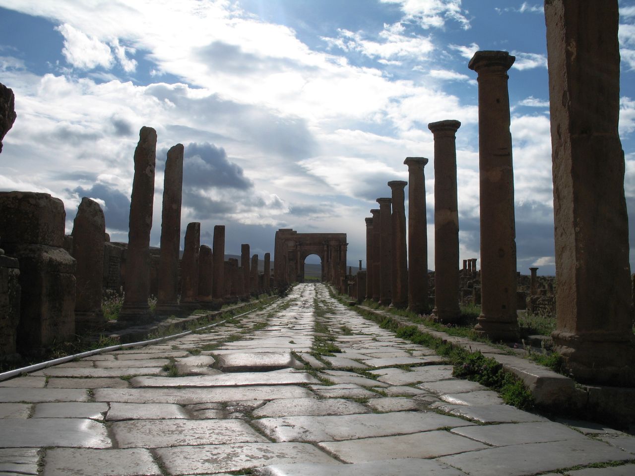 | १,२८० × ९६० (१७५ KB) | smartcommons>Masen | == Description == {{Information |Description={{fr|1=Ruines romaines de Timgad (Wilaya de Batna, Algérie). Rue menant à l'Arc de Trajan.}} |Source=originally posted to '''Flickr''' as [http://www.flickr.com/photos/phr61/2105759386/ IMG_0890] |
फाइल के उपयोग
कौनों पन्ना नइखे जवन ए फाइल के इस्तेमाल करत होखे।
