चित्र:East-Hem 200bc.jpg
ओरिजनल फाइल (३,२४० × १,९०३ पिक्सेल, फाइल साइज: २.२३ MB, MIME टाइप: image/jpeg)

|
This historical map image could be re-created using vector graphics as a SVG file. This has several advantages; see Commons:Media for cleanup for more information. If a SVG form of this image is available, please upload it and afterwards replace this template with
{{vector version available|new image name}}.It is recommended to name the SVG file “East-Hem 200bc.svg”—then the template Vector version available (or Vva) does not need the new image name parameter. |


| बिबरणEast-Hem 200bc.jpg | Eastern Hemisphere in 200 BC. |
| स्रोत | self-made (For reference information, see below) |
| लेखक | Thomas Lessman (Contact!) |
| परमीशन (एह फाइल के दुबारा इस्तेमाल) |
I, the copyright holder of this work, hereby publish it under the following license:    ई फाइल Creative Commons Attribution-Share Alike 3.0 Unported लाइसेंस की तहत लाइसेंसी बा।
|
| Other versions | see East-Hem_200bc_web-sm.jpg file history on Wikipedia. |

Map Summary
Original Source URL: http://www.thomaslessman.com/History/images/East-Hem_200bc.jpg.

This map of the Eastern Hemisphere in 200 BC was created by Thomas Lessman, based on information from the sources listed below. This map is free for educational use (see Permission info above). When using this map, please mention that it is available for free at www.WorldHistoryMaps.info.
Map Source References
- Remember, sources often conflict with each other. This map is only as accurate as the information that is available to me. To report any errors or to help further this work, please click here, or email Thomas Lessman at [email protected]
References for information contained in this map:
I - European information is derived from:
- Greece and Macedonia borders are shown in The DK Atlas of World History, 2000 Edition; map of Greece in 200 BCE; (Pg. 179)
- Roman Republic borders derive from The DK Atlas of World History, 2000 Edition; maps of:
- 1. 1st & 2nd Punic Wars (pg 179)
- 2. Roman Conquests to 120 BC (pg 179), which also shows Roman territory c. 200 BC.
II - Asian information is derived from:
- Central and Northern Asia including the Steppes are derived from this map of the Northern Borders of the Steppes, 174 BC, available on Huhai.net.
- Albani, Apasiacae, Chiang, Dingling, Donghu, Hsin-li, Hu-chieh, Hun-yu, Saceans/Scythians, Tocharian/Yuezhi, Wusun, Xiongnu/Hsiung-nu
- Chinese (Han) borders are derived from:
- 1. Wikimedia's map of the Qin empire 210 BCE.png, and from
- 2. The DK Atlas of World History, 2000 Edition; map of The Han Empire; (Page 260)
- South Asia/India, including: Mauryan Empire, Cholas, Kalinga, Kerala, Pandyas, and Satiyaputra, are derived from this map of India in 250 BC[dead link].
- Korean and Manchurian information derives from User:Historiographer's map of History_of_Korea-108BC. (Note: The borders were similar 100 years prior.)
- Buyeo, Gojoseon, Jin, Yemaek, Yilou
- Nan-Yue/Nam Viet borders are derived from The DK Atlas of World History, 2000 Edition; map of The Han Empire; (Page 260)
- Seleucid Empire borders derive from this map of the Seleucid Empire[dead link] and from the Wikipedia article on Antiochus III the Great.


/Mapas%20Imperiales%20Imperio%20Seleucida3.jpg)
III - African Information is derived from:
- 1. Wikimedia's map of the World 200 BCE, created by User:Javierfv1212.
- Bantu Tribes, Khoisan Pastoral Farmers, Saharan Pastoral Nomads
- 2. The DK Atlas of World History, 2000 Edition; map of The World in 250 BCE; (Pg 38)
- Axum, Bantu Tribes, Cushites, Nilotic Peoples
- 3. The DK Atlas of World History, 2000 Edition; map of Berber states in North Africa; (Page 161):
- Carthage, Mauretania, Numidia, Ptolemaic Empire.
- 4. The DK Atlas of World History, 2000 Edition; map of The development of complex societies in Africa; (Page 160):
- Garamantes, Gur, Kwa, Mandes, Nok, Khoisan Peoples, West Atlantic Peoples

Note: Much of the information in this map was cross-checked with Bruce Gordon's Regnal Chronologies archive copy at the Wayback Machine.
Other Maps by Thomas Lessman
| Maps of the eastern hemisphere showing history
Bold dates are available on Wikimedia or Wikipedia. | ||
| Primeval | ||
| Ancient
|
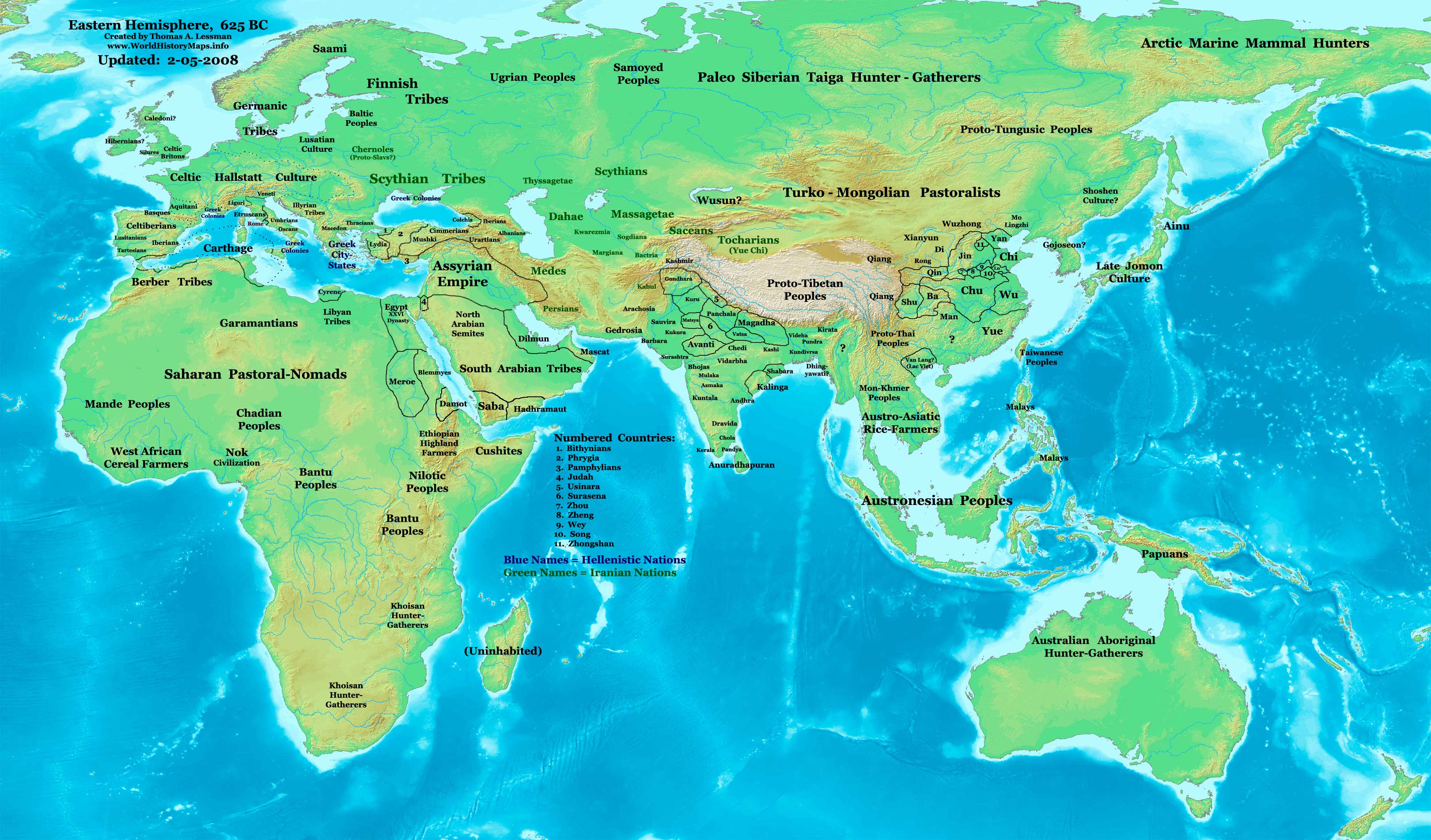
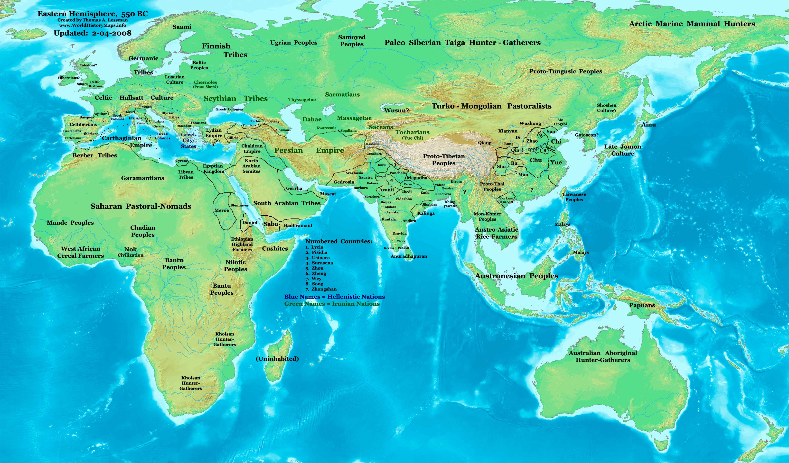
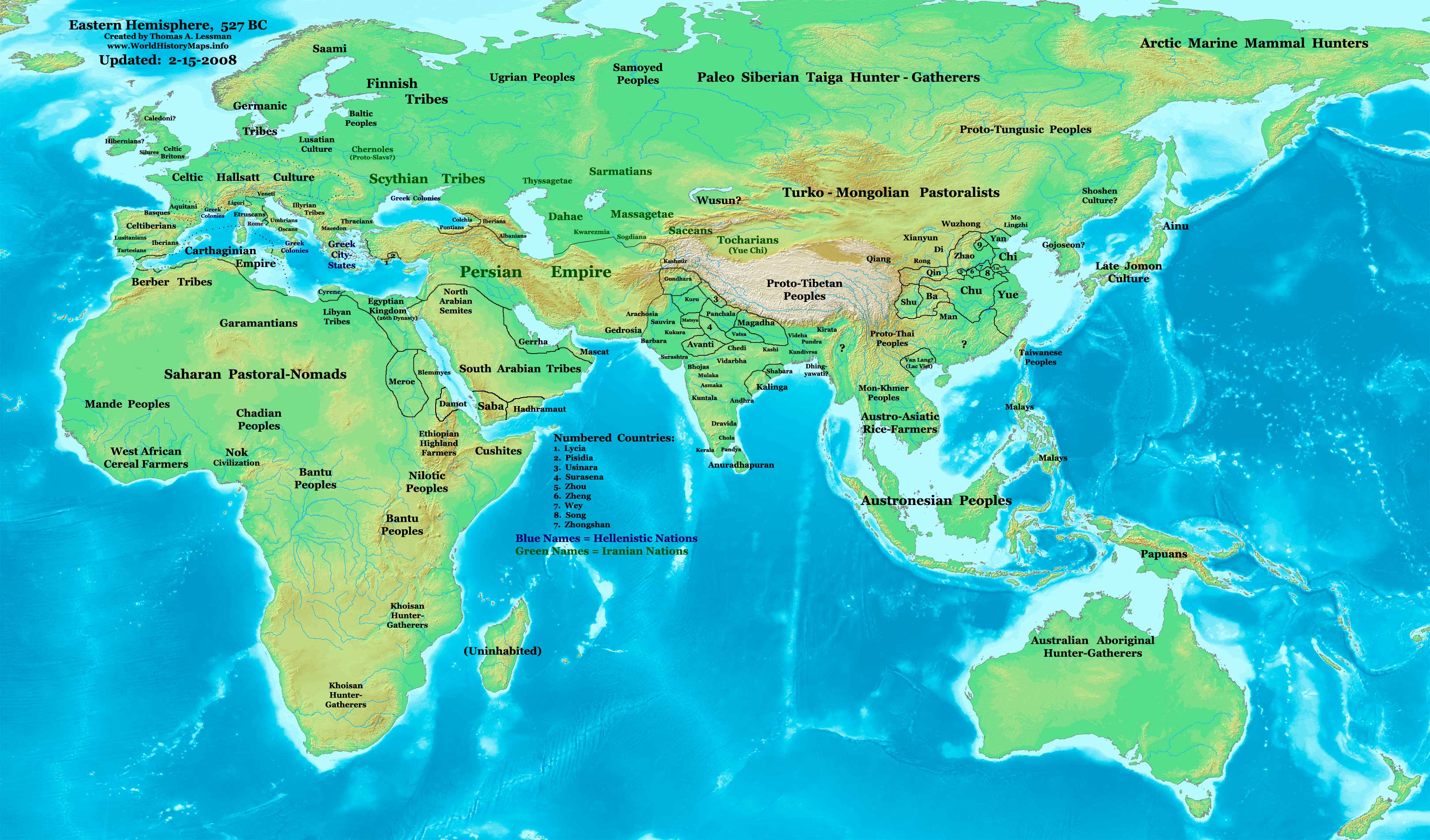
·| 600 BC | 550 BC | 527 BC | 500 BC |
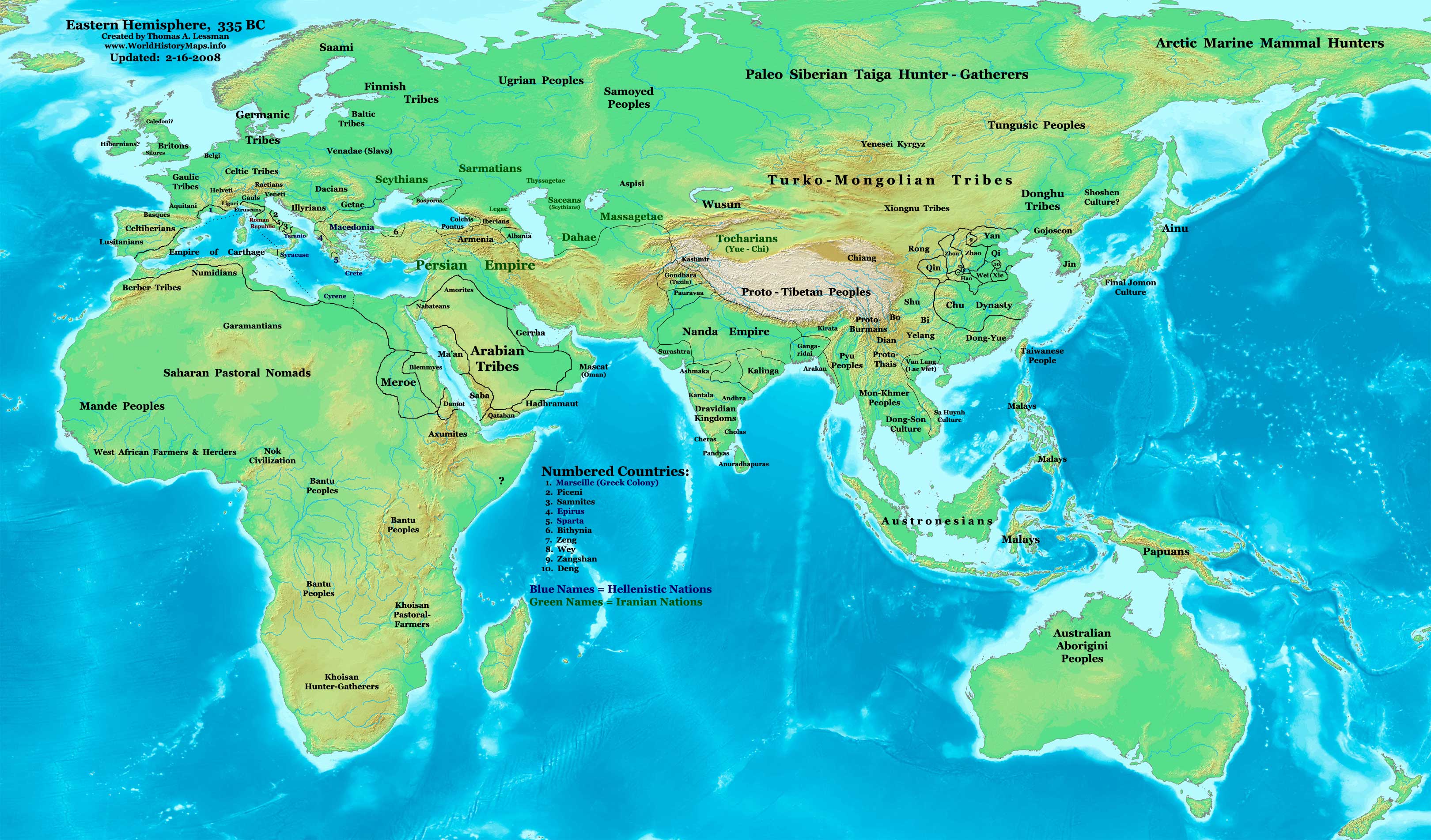
400 BC | ·| 1 AD | 50 AD | 100 AD | 200 AD | 300 AD | | |
| Medieval |
·| 500 AD | 565 AD | 600 AD | 700 AD | | |
| Modern |
·| 1500 AD | · * For historical maps of the whole world, | |






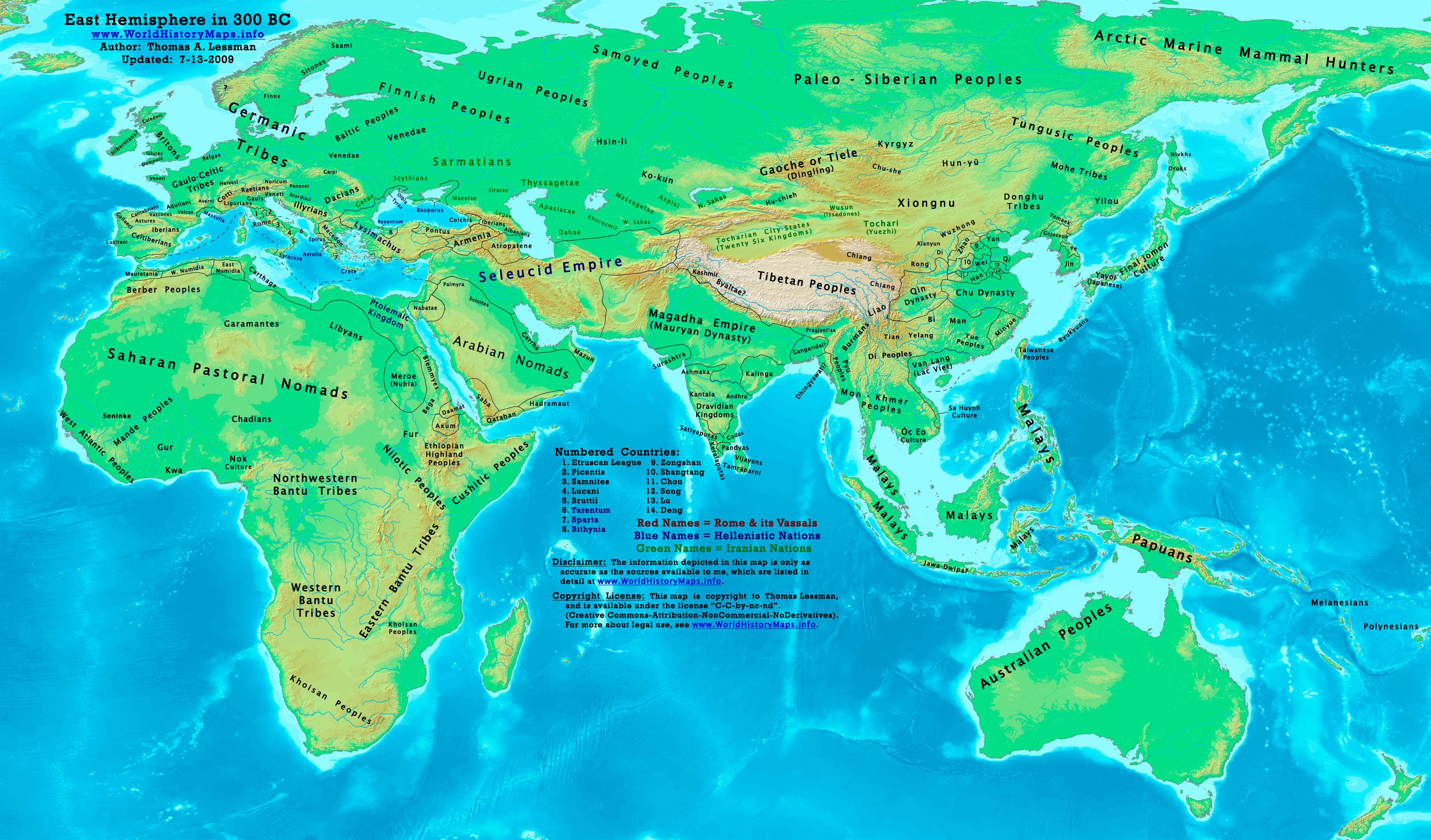


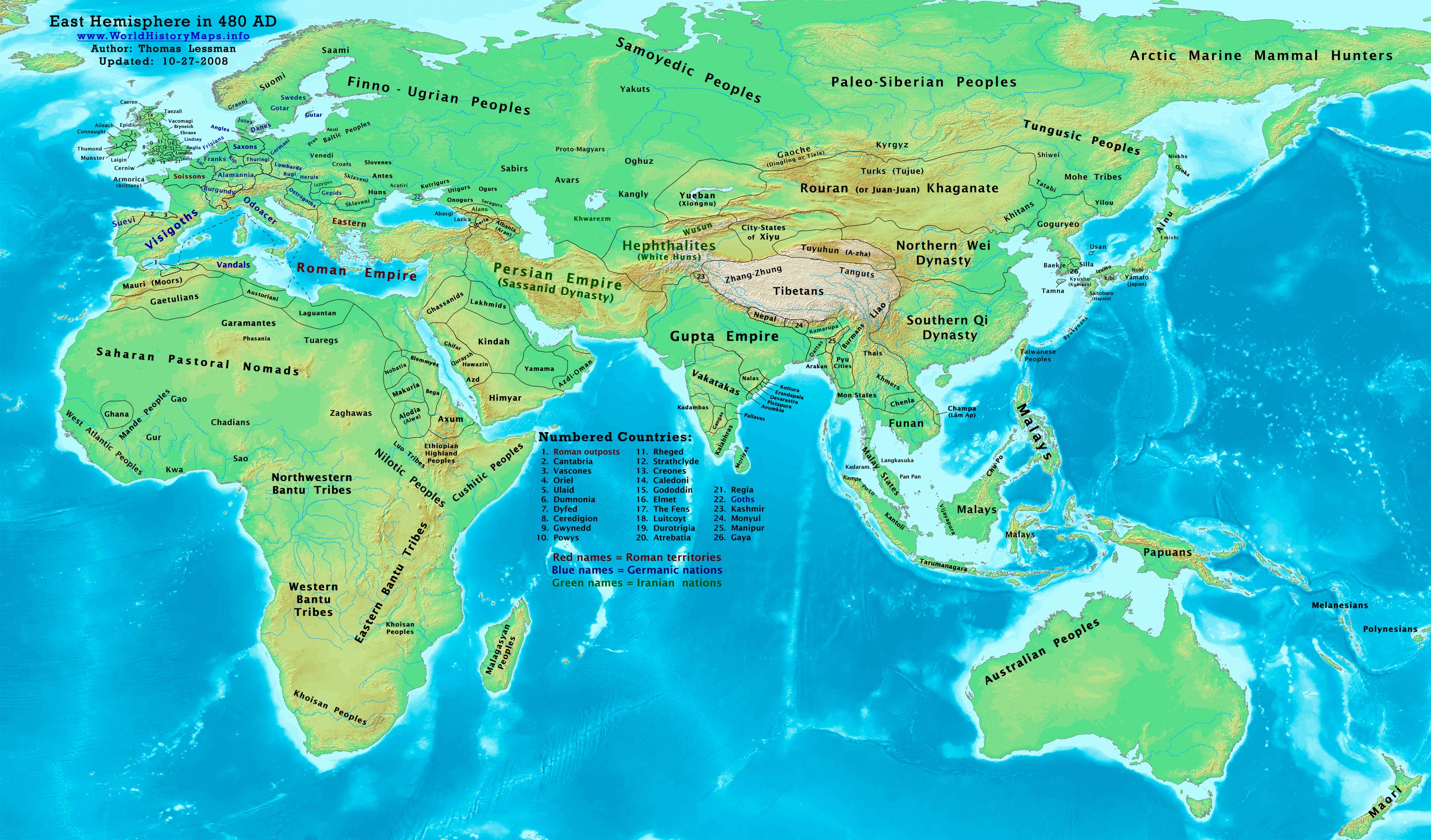
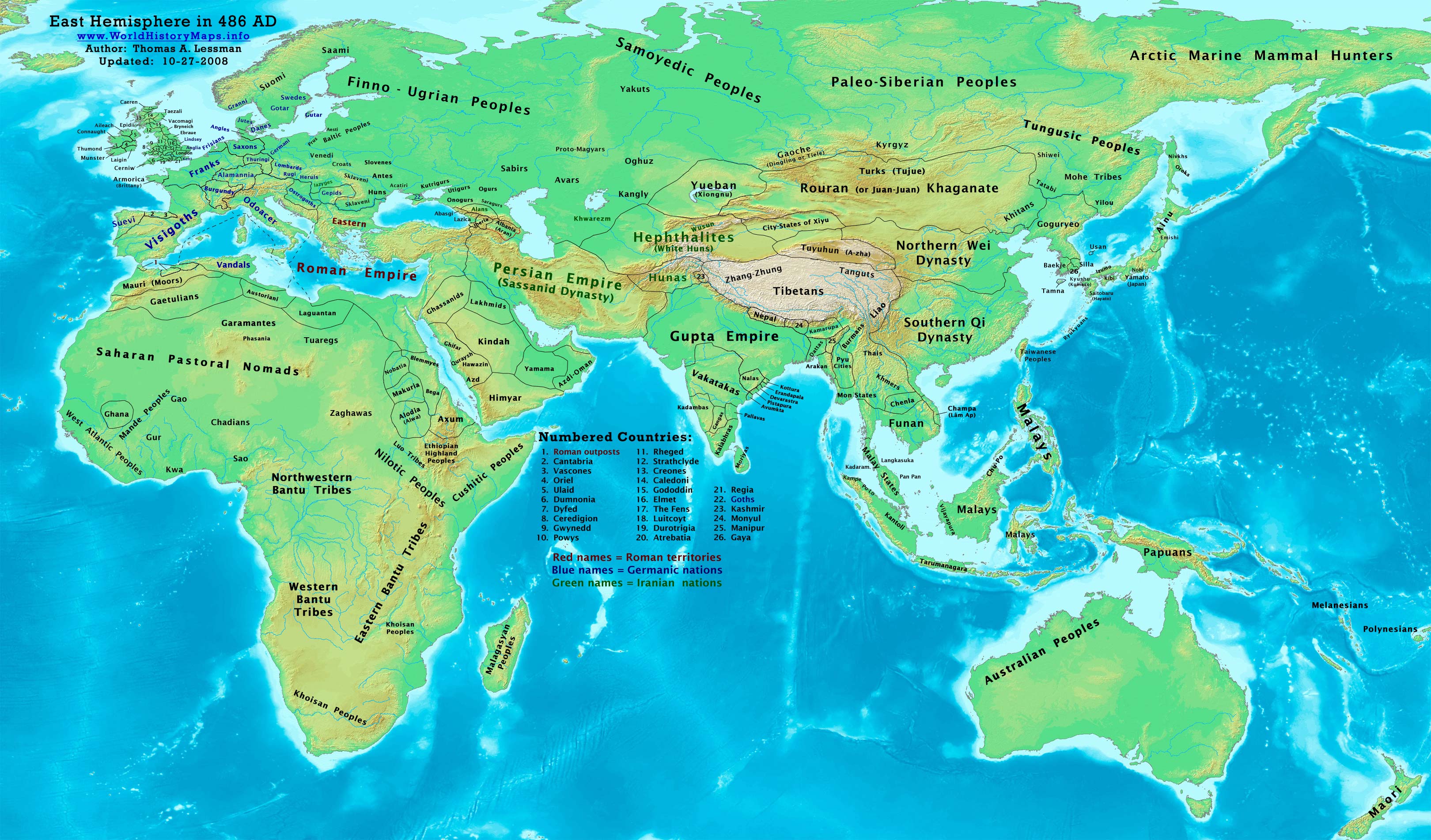


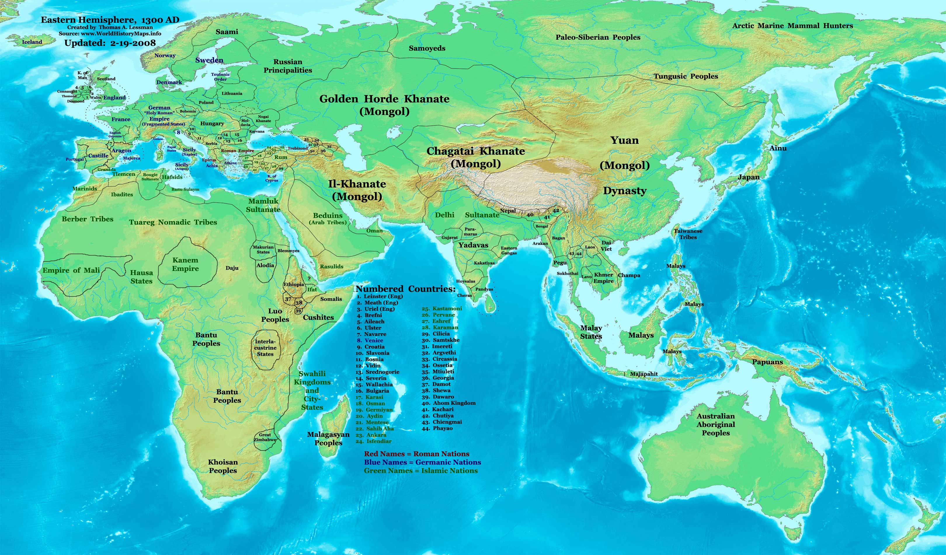
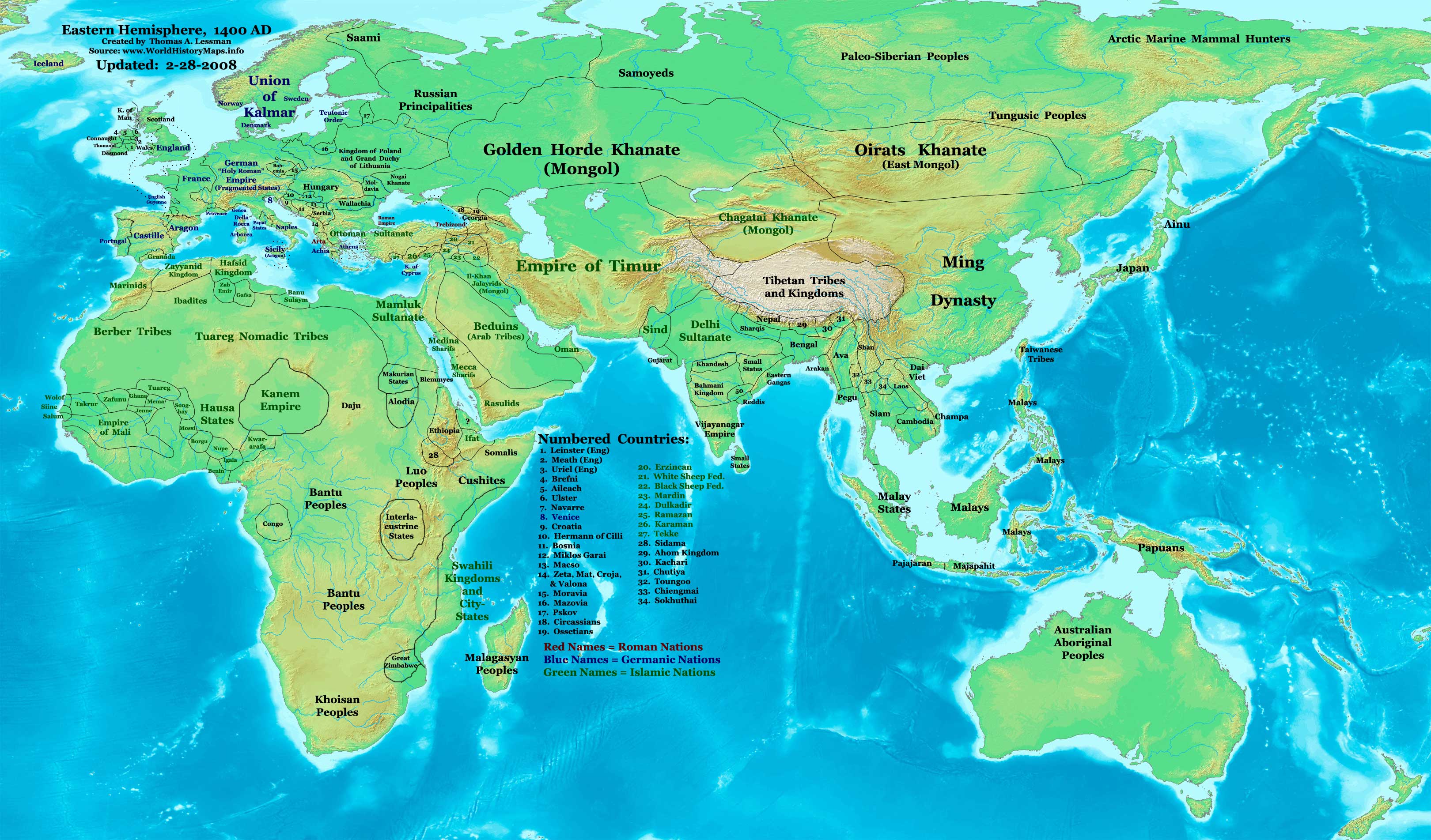
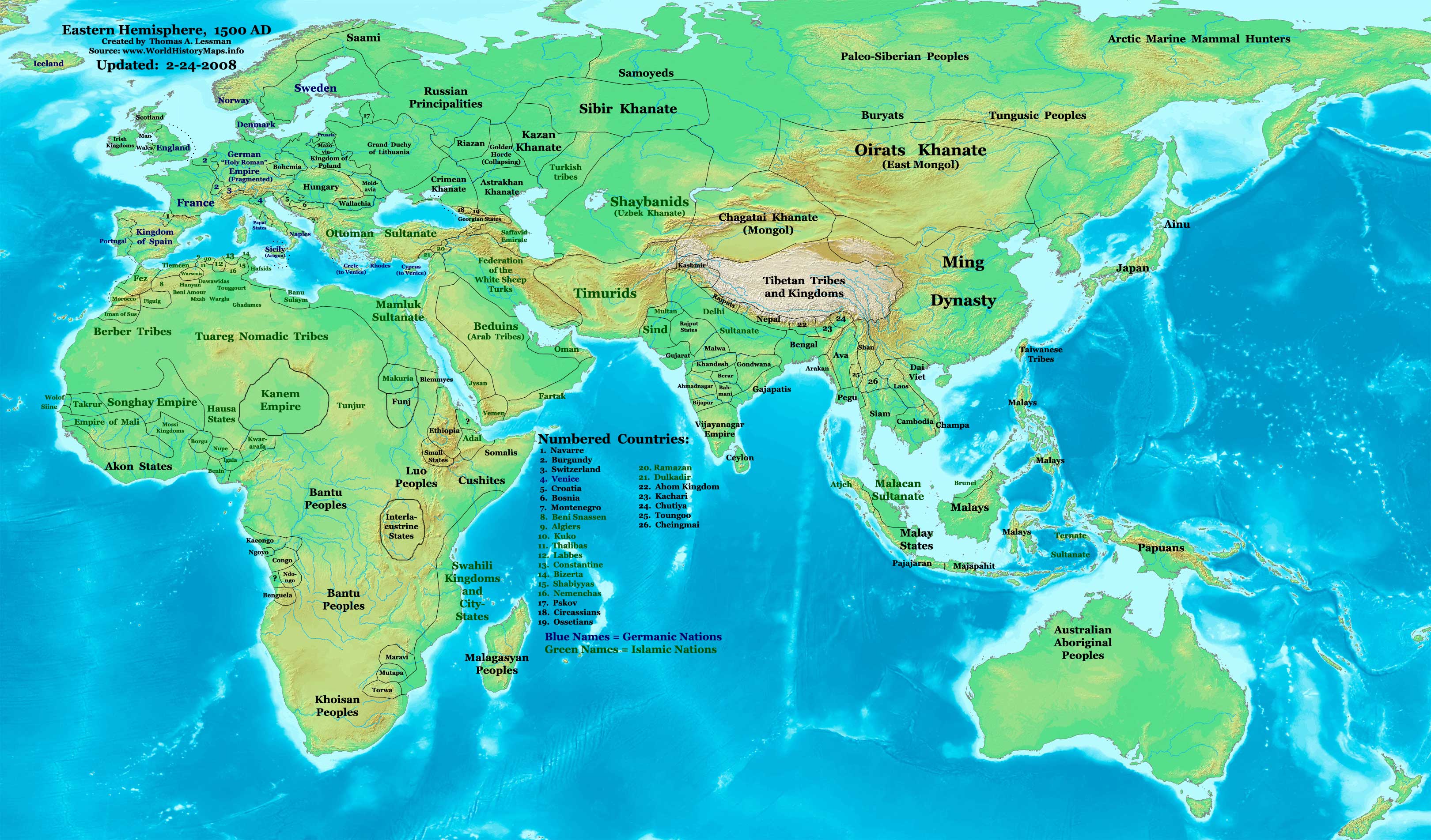
Captions
फाइल के इतिहास
ओ समय ई फाइल कइसन लउके ई देखे खातिर कौनों तारीख/समय पर क्लिक करीं।
| तारीख/समय | चिप्पी रूप | डाइमेंशन | प्रयोगकर्ता | टिप्पणी | |
|---|---|---|---|---|---|
| वर्तमान | २०:३८, २६ फरवरी २०११ | Error creating thumbnail: फाइल गायब बा | ३,२४० × १,९०३ (२.२३ MB) | smartcommons>Martin H. | Reverted to version as of 20:27, 3 February 2010, downscaling |
फाइल के उपयोग
कौनों पन्ना नइखे जवन ए फाइल के इस्तेमाल करत होखे।
